Veischede Sun Trail
A trail with impressive views and hearty cold-cut platters
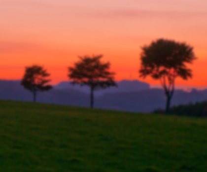
A chance to switch off and enjoy the great outdoors. Half-timbered villages, open countryside and expansive forests provide an idyllic backdrop to this hiking trail.
It is true that hiking the Veischede Sun Trail in Sauerland is not a piece of cake. But hikers are richly rewarded for their efforts with picturesque views of half-timbered villages, open countryside and expansive forests – not to mention the “Lowwerhannes-Brotzeitbrett” cold-cut platter.
Fit and fast hikers will be able to complete the Veischede Sun Trail in one day – the circular route through the Veischede Valley in Sauerland is a mere 37 kilometres long. But it would be a shame not to linger a while and soak in the area’s beautiful sights, such as the picturesque half-timbered villages nestling in the valley, the open countryside and the expansive forests. One of the highlights along the route is the 13th century castle of Burg Bilstein, which is currently used as a youth hostel. Its courtyard is an ideal spot for a picnic and hiking groups can stay in the hostel by booking in advance.
One culinary speciality that should be tried on the Veischede Sun Trail is the “Lowwerhannes-Brotzeitbrett” cold-cut platter that is served in many establishments along the way. It is named after Johann II, the last lord of Burg Bilstein, who died in 1365. It is said that his ghost still haunts the surrounding woods. The platter itself comes with fresh Sauerland rye bread, home-made sausage and ham and herb schnapps.
The Veischede Sun Trail has held the “Qualitätsweg Wanderbares Deutschland” seal of quality since 2013.