Upper Sauerland Ridge Trail
Hiking on the ridges of Sauerland
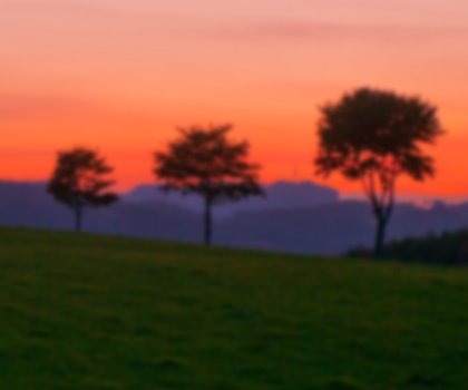
The route across the ridges of Sauerland offers hikers perfect tranquillity and beautiful forest views.
The Hochsauerland-Kammweg (Upper Sauerland Ridge Trail) runs for 34 kilometres along the most beautiful mountain ridges in Sauerland. The route between Züschen and Winkhausen offers hikers perfect tranquillity and beautiful forest views. But these have to be earned first as some of the ascents are very challenging.
One such peak is the Kahler Asten, North Rhine-Westphalia’s second highest mountain. Hikers who climb to the top of its observation tower will find themselves at the highest point in the state. If conditions are good, they will be able to see as far as Hesse.
The trail also heads past the source of the Lenne, the highest river source in north-west Germany. The high-altitude heath through which the Upper Sauerland Ridge Trail passes is yet another beautiful landscape.
Extending your hike through Sauerland
Hikers who want to see more of the region can easily combine the Upper Sauerland Ridge Trail with the 250-kilometre Sauerland-Höhenflug (Sauerland High-Flyer) trail. Indeed, the two trails overlap in some sections.
The Upper Sauerland Ridge Trail has received the “Qualitätsweg wanderbares Deutschland” seal of quality from the German Hikers Association (DWV). A tip for visitors in winter: the paths leading from Altastenberg to Winkhausen and from Züschen to Mollseifen make fantastic cross-country ski trails (provided that there is enough snow).