View from the Ginsburg in winter
Klaus-Peter Kappest, Rothaarsteigverein e.V., View from the Ginsburg in winter

Rothaarsteig von Vormwald nach Lützel

Hilchenbach
  • Winter tour, Active & Outdoor
  • 4.9 km
  • 1:35 Hour
  • medium
The tour, which is connected to local public transport, takes you up high. Those who dare to make the ascent will be rewarded with wonderful views of the snow-covered landscape

Tour details

  • Length:4.92 km
  • Duration:1:35 Hour
  • Uphill:200 hm
  • Downhill:128 hm
  • Difficulty:medium
  • Category:Winter tour, Active & Outdoor

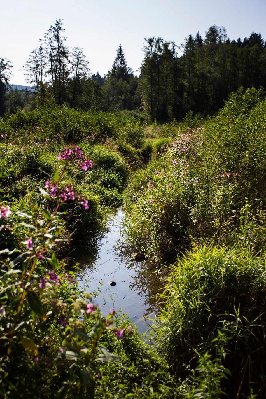
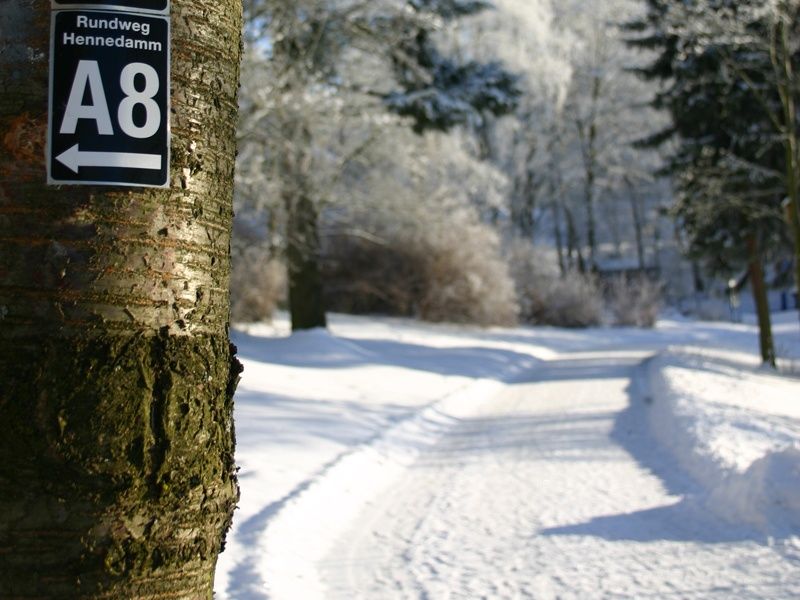
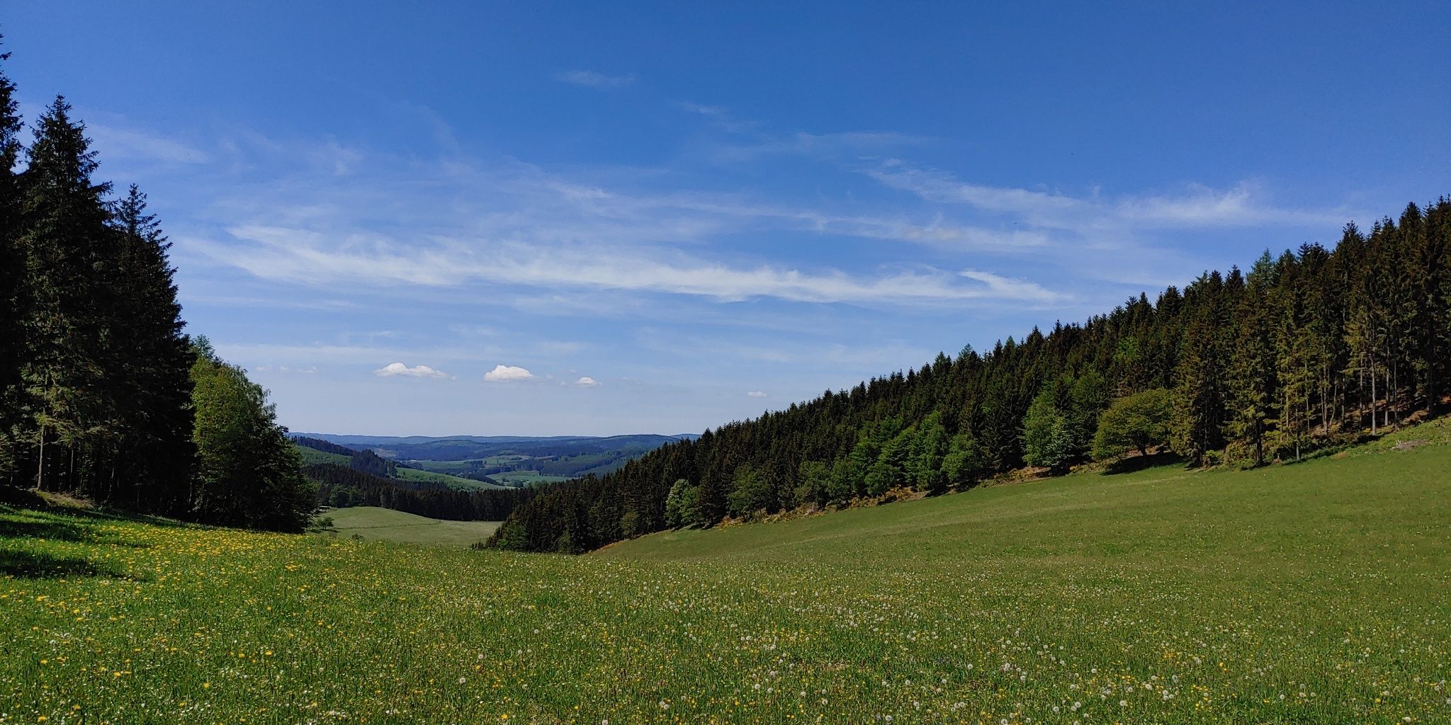
The tour from Vormwald to Lützel on the Rothaarsteig is a breathtaking hike that can be reached by public transport. It leads to dizzying heights and those who dare to make the ascent are rewarded with magnificent views of the snow-covered landscape. The hike begins at Vormwald train station and leads up to the Rothaarsteig via hiking trail X3. After just a few steps, you reach Ginsburg Castle, the first highlight of the tour. It is worth climbing up to the castle, as you can enjoy a wonderful view over the snow-covered Siegerland from up there. You can take a break either here or at the nearby Hotel Ginsberger Heide. The trail continues through the Ginsberger Heide, a nature reserve with rare plant and animal species, towards the Giller. At 653 m, the Giller is the highest point in this area. A climb up the Gillerberg tower offers a special view of the landscape. But there are also great views from the foot of the tower. Depending on the weather, you can watch a beautiful sunset here. After about 1.7 kilometers on the Rothaarsteig, you reach Lützel train station. This tour is an experience all year round, with refreshment stops along the way.

Oops, an error occurred! Code: 20251101145954c06e0849

Good to knowMore information

Contact

Rothaarsteig von Vormwald nach Lützel


57271 Hilchenbach

More tours at a glance

  • BaldeneySteig
    Essen
    Ganz klar: Das Wandern ist längst nicht mehr nur allein des Müllers Lust. Das wäre auch zu schade, denn seit 2017 lädt der knapp 27 Kilometer lange BaldeneySteig zu Wandertouren rund um Essens Stausee ein. Es geht durch Wälder, über Wiesen und Felder und vorbei an urigen Bauernhöfen. Tolle Ausblicke inklusive. Zudem gibt es vier Abstecher zu besonderen kulturellen Highlights, die von der Hauptroute aus erlaufen werden können. Wenn die Füße mal nach einer Pause verlangen, lassen sich Teile des Steigs, der mit 600 Höhenmetern aufwartet, auch mit dem ÖPNV, der Weißen Flotte oder der Hespertalbahn zurücklegen.
    BaldeneySteig
  • Wittgensteiner Slate Path - Exciting Adventure
    Bad Berleburg Raumland
    An eventful route through fabulous forests, past impressive rock landscapes and over winding paths. The hiking trail promises a true adventure!
    Wittgensteiner Slate Path - Exciting Adventure
  • Lörmecke tower in the Sauerland
    Winterwanderweg zum Lörmecketurm
    Bestwig
    Winter hike through the Arnsberg Forest Nature Park
    Winterwanderweg zum Lörmecketurm
New tips every two months

Insider tips & excursion ideasNewsletter

Fancy some mail? Then subscribe here to our every two months newsletter with information on special travel offers, selected short tips for short trips and other insider tips for travelling in North Rhine-Westphalia.

Click here to register