The long-distance hiking trail meanders for a total of 200 kilometers along the Sieg, which shapes the landscape with its meanders, riverbanks and deeply incised valleys and makes the hiking trail a special experience.
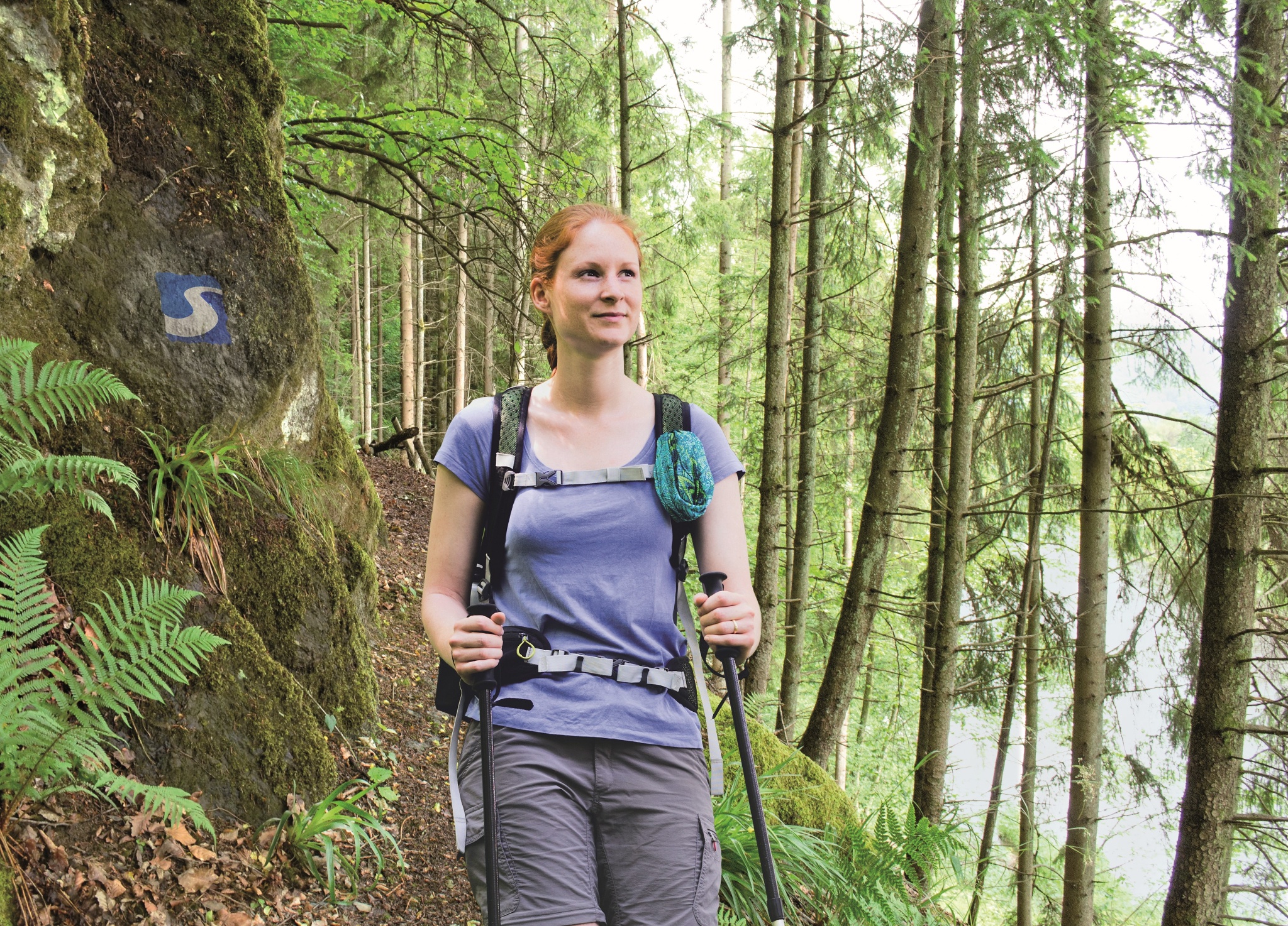
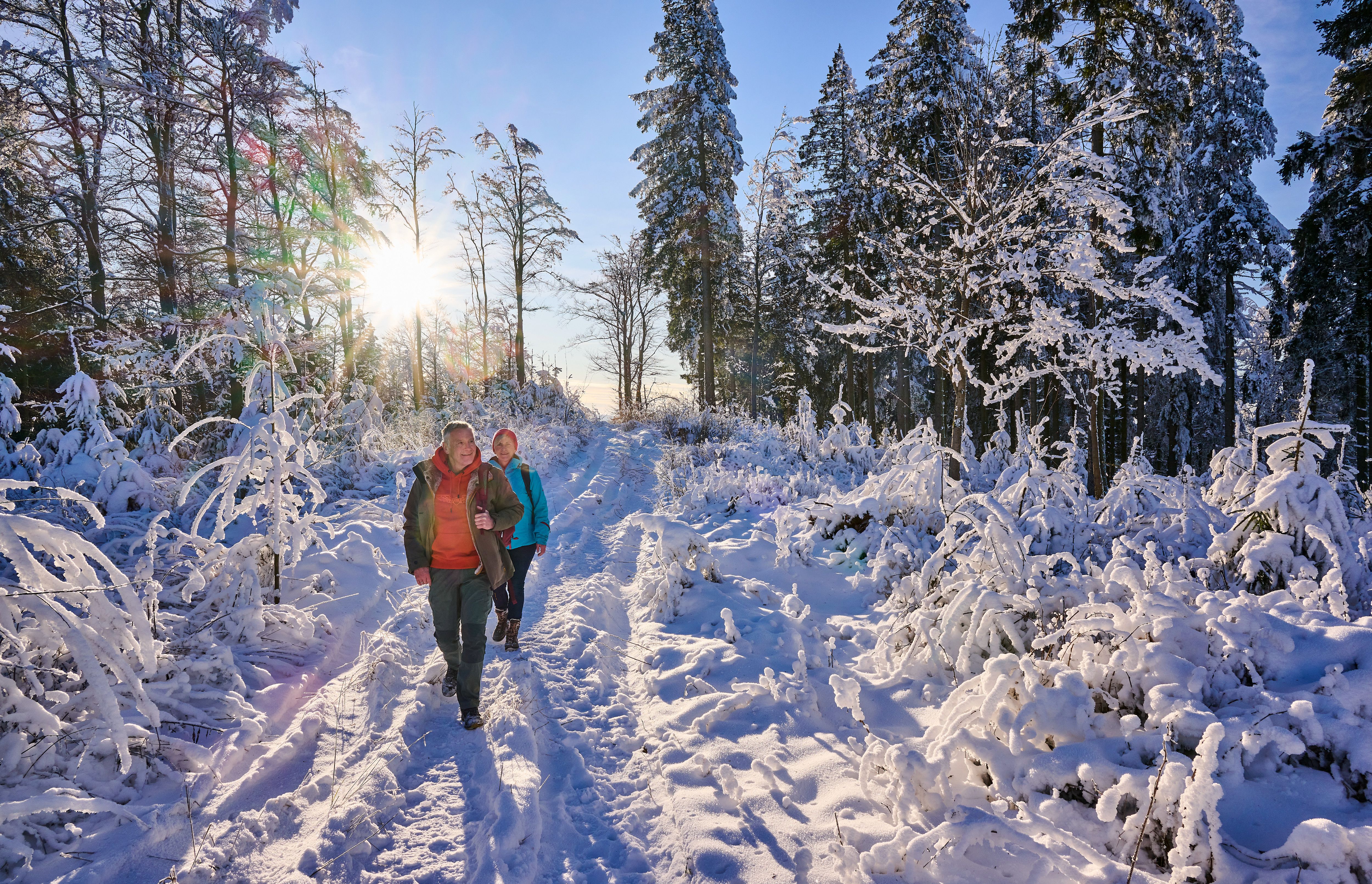
Simply set off and leave everyday life behind you: The long-distance hiking trail leads along rustic paths and trails through the picturesque Siegtal valley and over the surrounding hills. Each of the 14 stages of the Natursteig Sieg starts at a train station and can also be hiked individually without much planning. Whether a day trip or a long-distance hike: the landscape is full of attractions on 14 stages between 11 and 25 km in length: Sometimes the route takes you past impressive natural monuments or over rocky passages to secluded heights. Then along the River Sieg or a stream, past castle ruins and half-timbered villages. Choose a stage and travel stress-free by bus or train to the starting station of the tour. Drivers can also park there, and at the end of the stage the train will take you back in comfort. The trails are carefully marked and certified as quality trails.