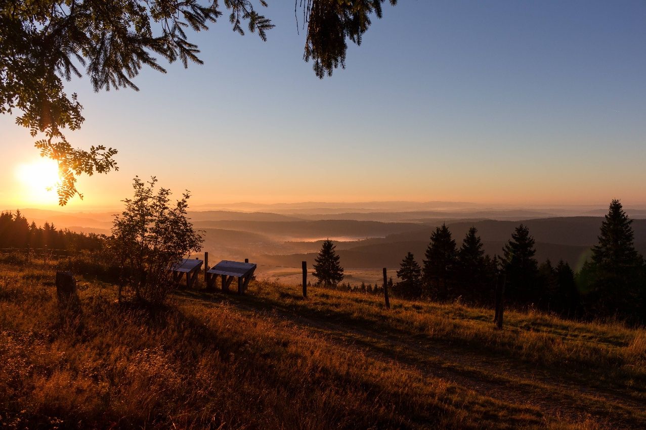
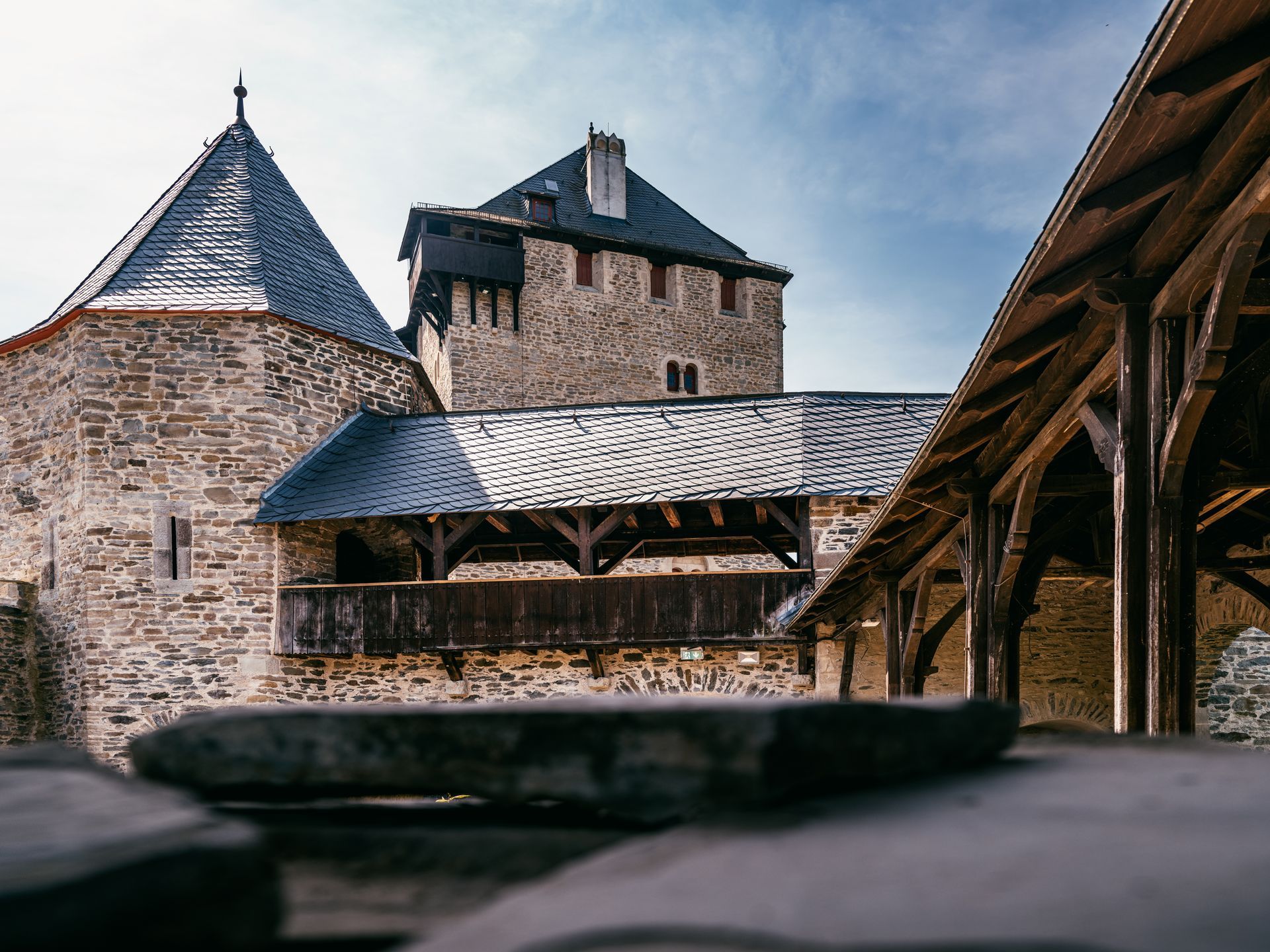
Despite three long climbs in the first section of the tour, the almost 50-kilometre route through the Bergisches Land region is ideal for beginners on a gravel bike. The circular route to and from Manfort offers numerous opportunities for a break, including Altenberg Cathedral, Lake Von-Diergardt, which is perfect for a dip on hot days, and idyllic cafés. There are also wonderful views of the Rhine Valley and the cities of Leverkusen and Cologne from the Uppersberg hill and the ridgeway between Altenhufe and Voiswinkel. Cyclists, who are mostly on forest paths and side roads, are accompanied by the River Dhünn for long stretches. However, they sometimes have to share the paths with pedestrians and - in the adjacent Dünnwald wildlife park - with peace-loving mouflons.

- Cycling
- 49 km
- 3:32 Hours
- medium
A round of views, please: The gravel tour from Leverkusen to Odenthal and Bergisch Gladbach and to the north-eastern foothills of Cologne offers magnificent views. Of course, they don't come without a few climbs...
Tour details
- Length:48.84 km
- Duration:3:32 Hours
- Uphill:485 hm
- Downhill:483 hm
- Difficulty:medium
- Category:Cycling
- Features:
- Good public transport connections
- Predominantly shady
- Circular route
Dominik Ketz, Five people raise their glasses in a beer garden in Odenthal-Altenberg. Dominik Ketz, Panoramic view of Cologne with the cathedral and television tower. Dominik Ketz, Church with tower and half-timbered houses in Odenthal. Dominik Ketz, Two cyclists on a paved path. Altenberg Cathedral can be seen in the background.


Downloads
Good to know
More information
Contact
Gravel-Tour "3D - Dünnwald, Dhünn und Domblicke"Moosweg
51377 Leverkusen
Phone: +49 2204 / 8430-00
E-Mail: info@dasbergische.de