Bergisch Panorama Trail
Trail with a view
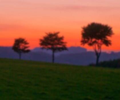
Wonderful views from the top reward hikers’ efforts on the Bergischer Panoramasteig (Bergisch Panorama Trail).
Ascents in Bergisches Land have one key advantage: the spectacular views that reward you upon reaching the top. The Bergischer Panoramasteig (Bergisch Panorama Trail) brings together numerous magnificent vistas. Covering a distance of 246 kilometres, it takes a circular route through scenery typical for the region and takes in views of the Siebengebirge (Seven Mountains), Sauerland and the Eifel region.
In doing so, it passes through forests and meadows, alongside rivers, streams and reservoirs. There are also plenty of cultural sights by the wayside. Highlights along the route include the Bergisches Freilichtmuseum, an open-air museum in Lindlar, which depicts the former rural way of life in the area. In Nümbrecht, the baroque Homburg Castle with its cultural history museum is a draw for visitors and animal lovers can plan a detour to see the monkeys and birds at the Affen- und Vogelpark Reichshof-Eckenhagen. There are also numerous stalactite caves lining the route.
The trail itself also has plenty of variety on offer. For example, it runs around Lindlar, famous for its quarries. Stone mined here can be found in such places as Frankfurt Airport or Dubai and even appears in a yacht belonging to a Russian billionaire.
The stage between Biesfeld and Dhünn has other virtues to entice visitors. Right at the beginning, hikers are welcomed with a spectacular panoramic view of the Rhine Valley and Cologne Cathedral. In Hückeswagen, it is worth heading down for a wander through the town’s historic alleys to the rustic castle grounds. Other sections of the route are characterised by a series of reservoirs, some of which invite relaxation with their own swimming areas.
The entire circular route is divided into twelve stages. Each section is between 16 and 25 kilometres. The trail has been awarded the “Qualitätsweg Wanderbares Deutschland” seal of quality by the German Hiking Association (DWV).