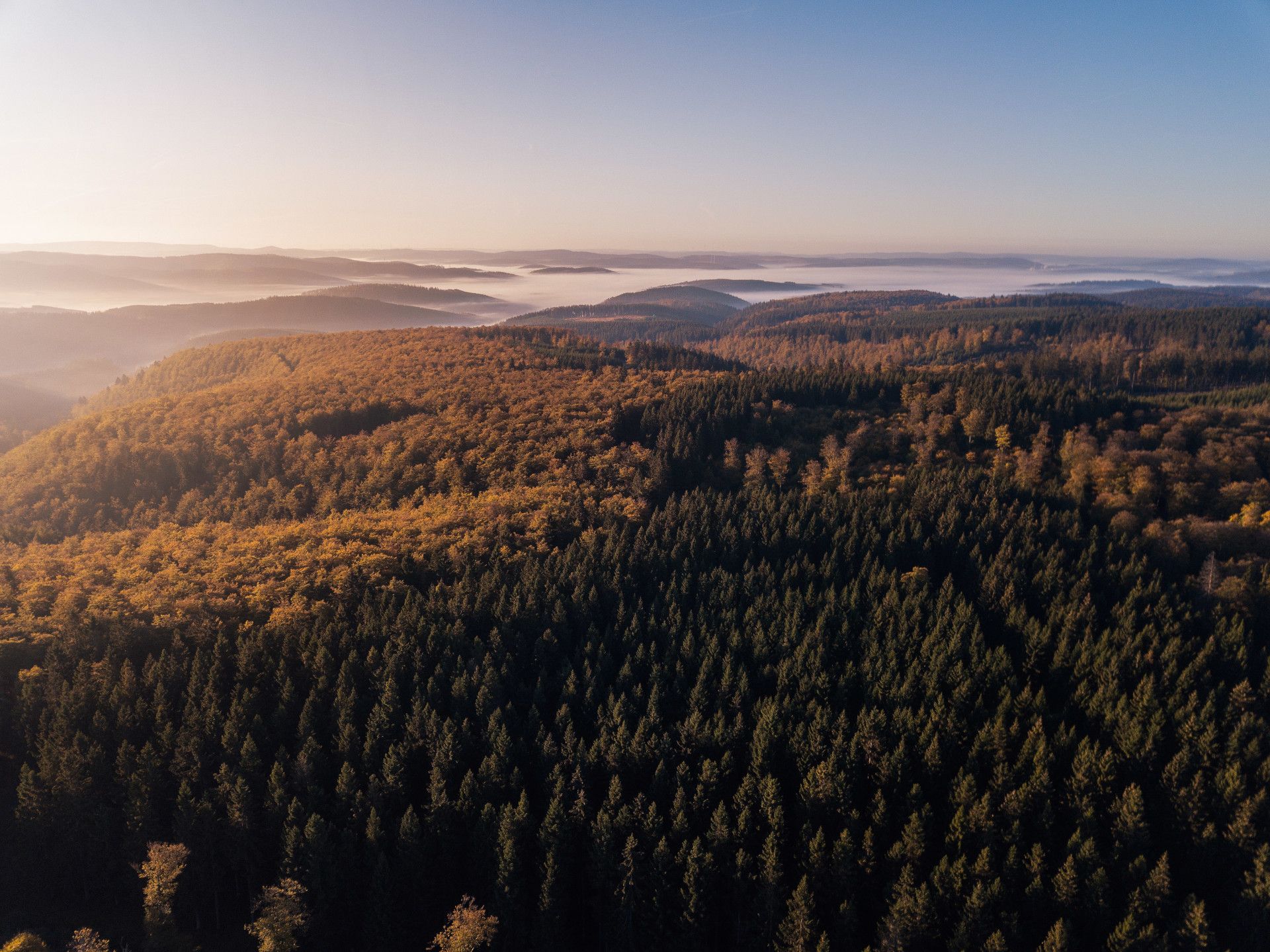
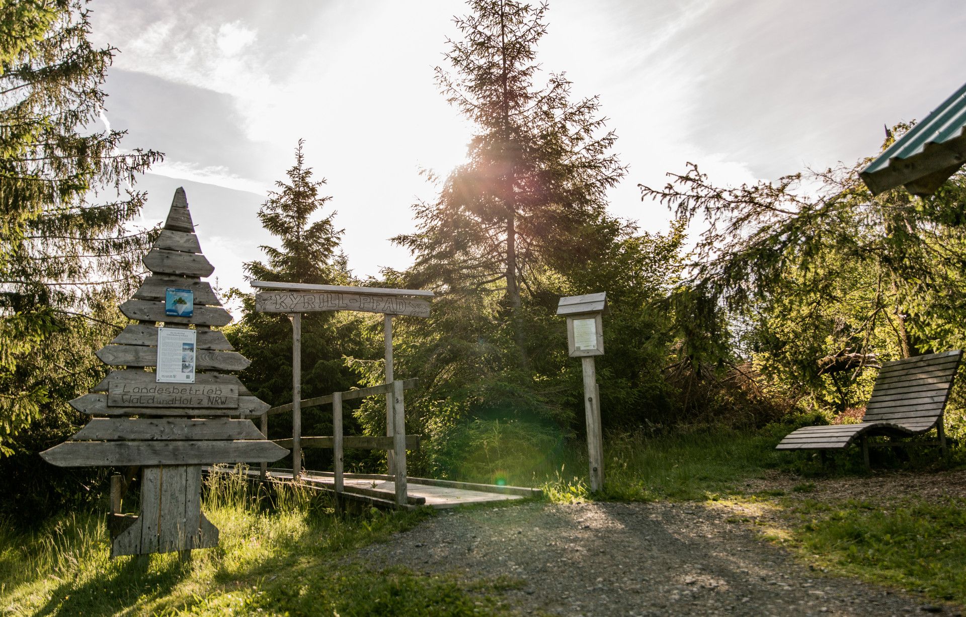
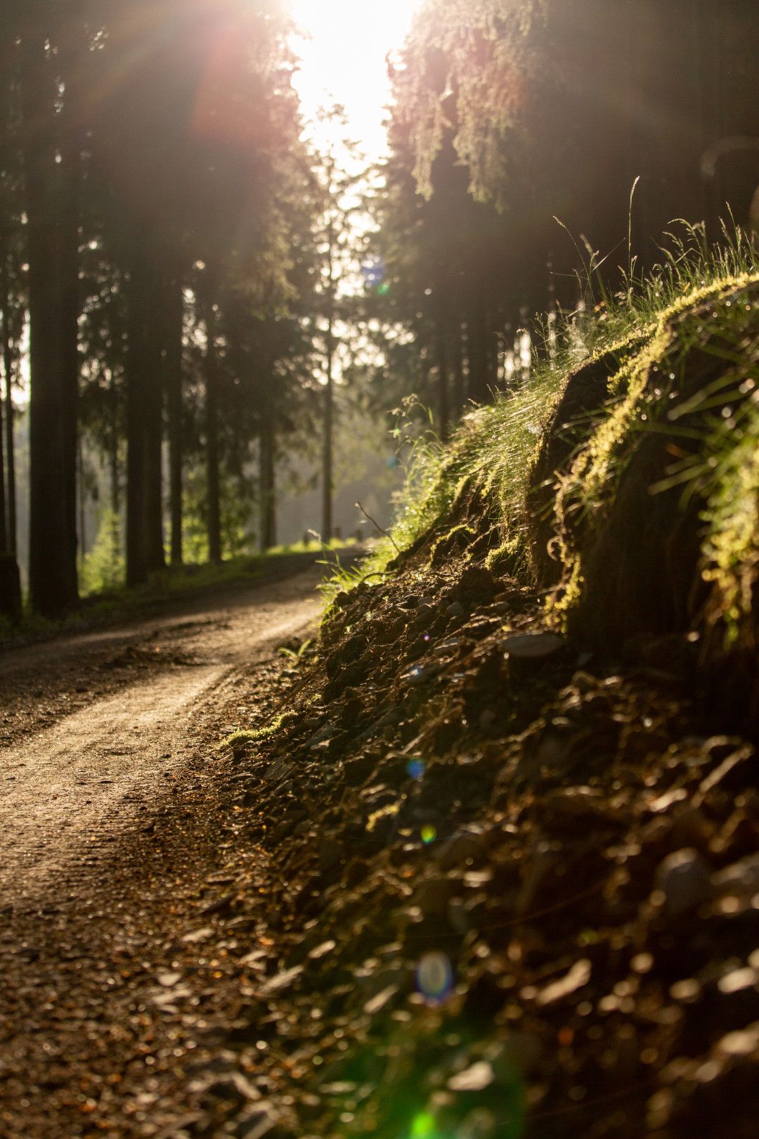
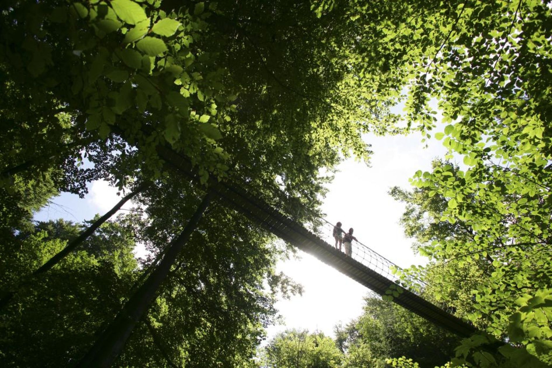
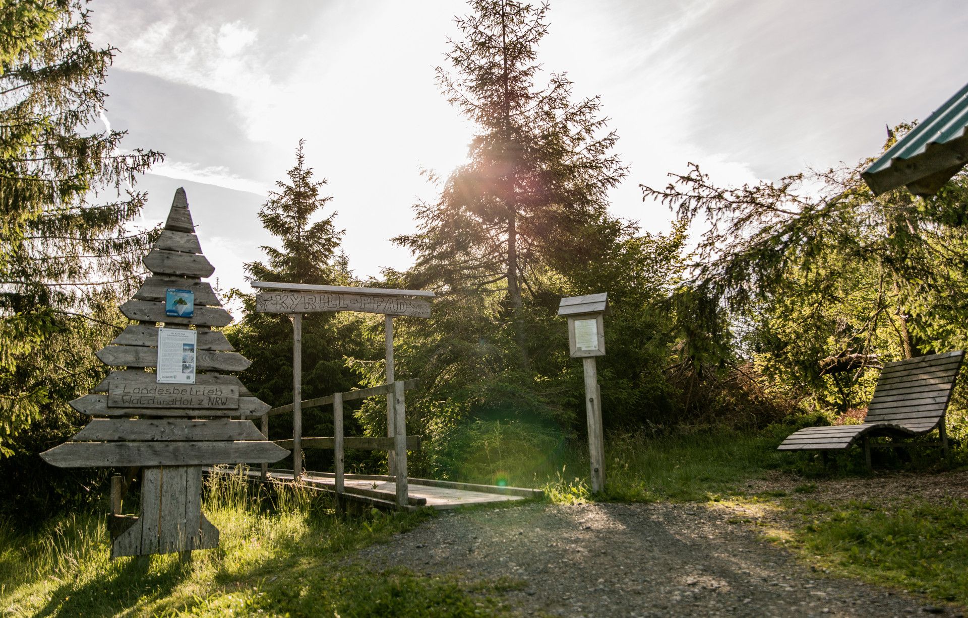
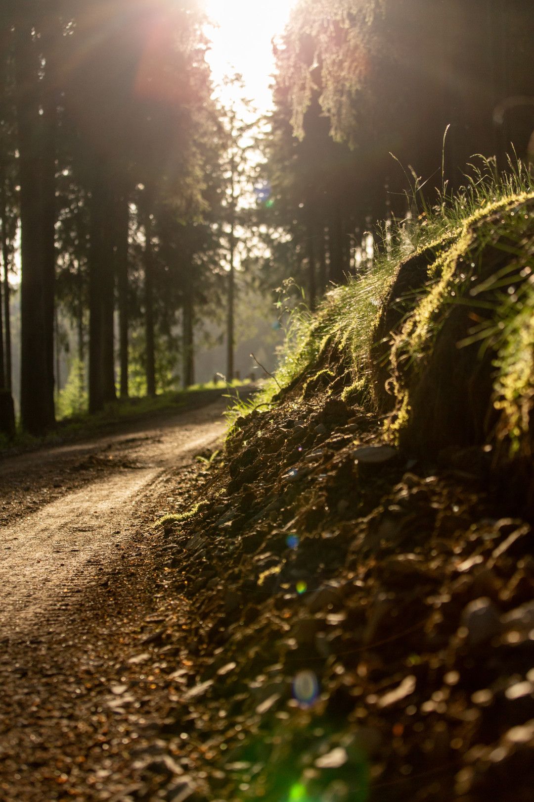
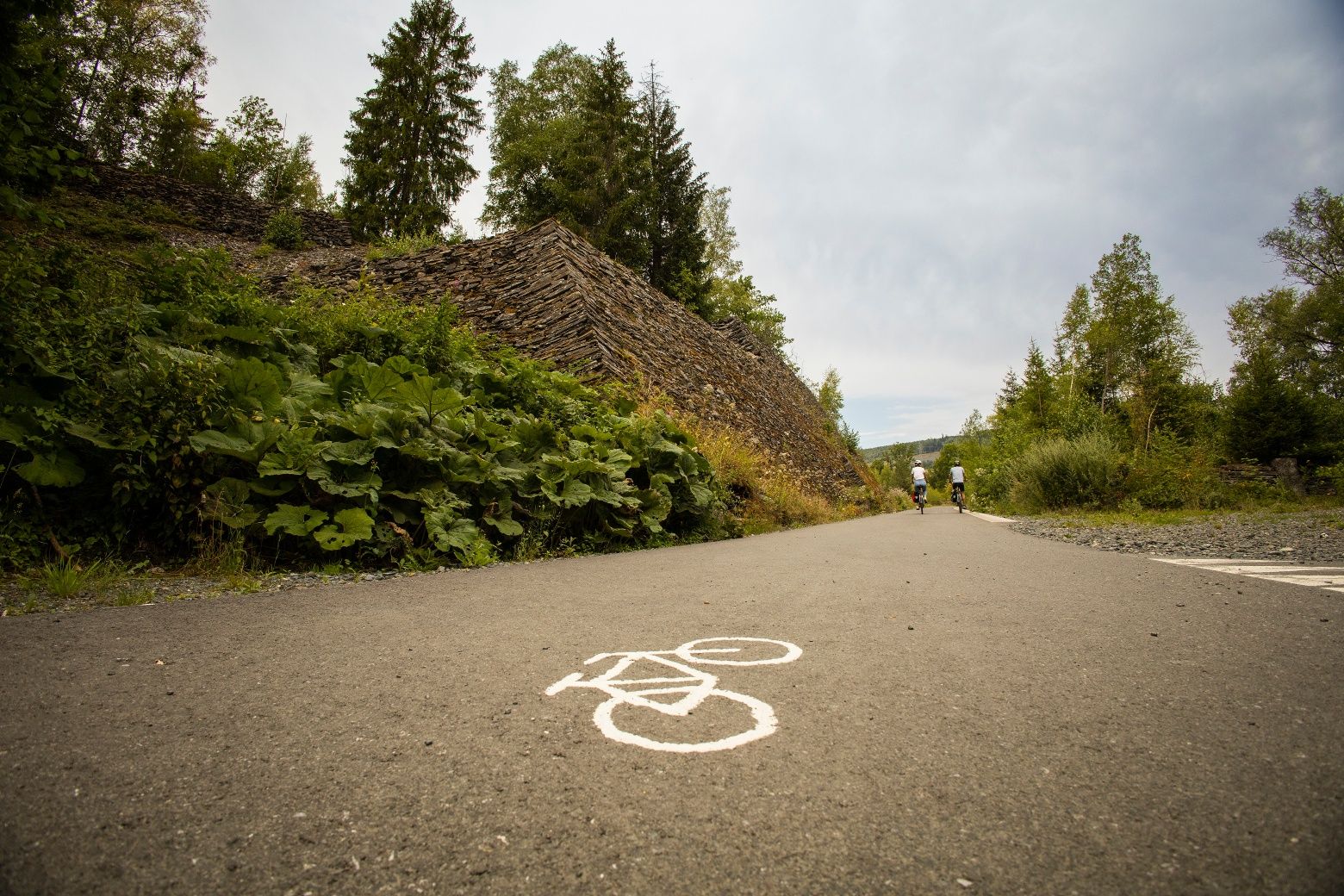
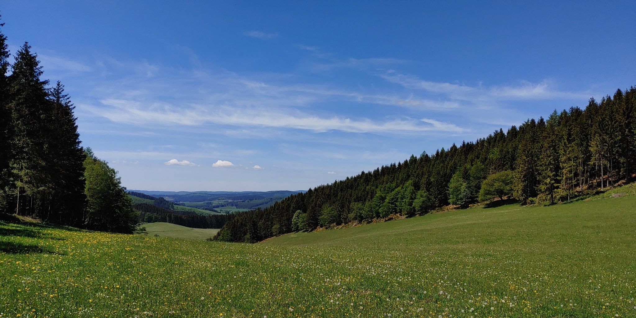
Blick über die Landschaft - Rothaarsteig-Spuren, © Rothaarsteigverein e.V. Klaus-Peter Kappest

Rothaarsteig-tracks

Away from the well-known trails

The Rothaarsteig is re­garded as be­ing one of the most beau­ti­ful up­land hik­ing trails in Europe. How­ever, it’s also worth leav­ing the well-trod­den paths be­hind and turn­ing off onto one of the oth­er tracks on either side.

They have names such as “Kahle Pön”, “Ilsetal” (“Ilse valley”) or “Trödelsteinpfad” (“dawdle stone path”). The eight Rothaarsteig tracks between the Sauerland and Siegerland-Wittgenstein regions offer a welcome alternative to the popular upland path - and not only for people who are well familiar with the route. Visitors hiking in the region for the first time are sure to find a track that suits their needs, too. The Premium trails, which are certified by the Deutsches Wanderinstitut, the German hiking institute, are designed as circular routes and are easy to manage.

Routes for beginners

The BlickinsLand - Kahle Pön (“Landscape view - bald Pön”) Rothaarsteig trail is ideally suited for a half-day tour, or for less well-trained hikers. The route, which lasts around four hours, takes visitors through varied heathland landscapes of the Upländer Berge hills, up to the 745 metre-high Kalied summit. Here, incidentally, ka = “kahl” (bald), and lied = a steep slope. But there’s no need to worry: along the seven kilometre-long route, there is an ascent just 180 metres long.

The Grönebacher Dorfpfad (“Grönebacher village path”; 10.9 kilometres) is also suitable for hiking novices, curving around the oldest church tower in the town of Winterverg, the St. Lambertus church at Grönebach, and offering a variety of scenery along the way. The route takes hikers through colourful meadows and dense forests - without losing sight of the picturesque village of Grönebach. Hikers with children will be sure to stop off at one of the two leisure facilities along the route.

The Dill-Bergtour (“Dill hill tour”), which runs along the federal state boundary between North Rhine-Westphalia and Hessen, offers wonderful views over the Lahn-Dill-Bergland nature park and the Siegerland area. Without having to cope with any particularly steep climbs, hikers, or in this case “border crossers”, pass through the idyllic Dill valley and the historic Hauberg Offdilln forest, where traces of Celtic life such as a bloomery can still be found today. The high point of the 15.8-kilometre tour is the view from the “Nose in the wind” viewing platform on the Tiefenrother Höhe (Rothaar ridge) summit.

Tours for fit hikers

Hikers who undertake the Kahler-Asten-Steig route should be physically fit.  At 16 kilometres long and with an overall ascent of 500 metres, it is one of the most challenging circular routes along the Rothaarsteig. In 2017, it was certified by the Deutscher Wanderverband, the German hiking association, as a “Qualitätsweg Wanderbares Deutschland - Traumtour”, a quality “dream tour” hiking trail, and quite rightly so: hikers who make their way up to the Kahler Asten from the Rothaar Arena in Westfeld (a year-round centre for Nordic sports) will be rewarded with an unbeatable view right across to the Brocken summit in the Harz mountains.

The 11.6 kilometre-long Oberhundemer Bergtour hill route immediately starts with a steep uphill section. However, once hikers have overcome the ascent over the old donkey paths, the trail continues comfortably onwards along winding paths, past ragged rocks and through dense forests. However, even areas that were completely devastated by storm Kyrill in 2007, where nature is slowly by surely recovering, will still delight hikers. A stop at the Alpenhaus on the Kahleberg hill is highly recommended. The traditional-style hut has officially been recognised as belonging to Kirchhundem since 2011.

A very special experience for children (and adults) is the wisent path from Wingeshausen to the Schmallenberg hunting lodge, which is also certified as a “Traumtour”, or “dream tour”. Halfway along this 12.9 kilometre-long, average difficulty route, hikers can, with a bit of luck, see Europe’s only wild wisent herd for themselves. However, there is an entrance fee to the enclosure where these huge, shaggy animals live, which depends on age.

Fairytale rock faces, a romantic water lily pond and the historic site of the “Bettelsmannbuche” beech tree, where pilgrims used to camp, make the Ilstealpfad (or “Ilse valley path”) a very special nature experience. Passing along the Lahn, Ilse and Weidelbach rivers, this longest Rothaarsteig track, covering 16.5 kilometres, passes through open landscapes and dense fir and beechwoods to the Weidelbacher Weiher pond. Here, in the middle of the forest, it's worth taking a break to enjoy the peace and quiet, and to tank up on energy before tackling the next climb. After all, there are 540 meters of uphill walking through the Wittgensteiner Wald forest.

The Trödelsteinpfad path, which covers 10.2 kilometres from the Buchheller-Tal valley up to the “Trödelsteine”, or “dawdling stones” natural monument (and back), has a slightly less arduous climb. After a good four hours over rustic, untamed paths, where a good level of fitness is required, hikers will reach several basalt cliffs and below, a field with pillar and block rock formations consisting of feldspar asphalt - although of course, not without taking a break in between, such as in the juniper heathland in the “Saukaute” nature conservation area. This route is also a certified “dream tour”.

www.rothaarsteig.de

 
Map of NRW

Tour overview

Info, data & tour route

Google Maps is rendered here. If Google Maps is accepted, data will be transfered to Google Maps.

Accept Google Maps
Distance in km
-
Duration in days
-
Walking/Journey time in hours
-

Highest point in metres
677
Uphill altitude difference
376
Downhill altitude difference
376
Tour Level
Level of difficulty
intermediate
  • Round trip
  • Family-friendly
  • Wheelchair-accessible

Images and videos

Be inspired: images of your NRW

Rothaarsteig-Spur Trödelsteinpfad, © Rothaarsteigverein e.V. Klaus-Peter Kappest
Rothaarsteig-Spur Blick-ins-Land Kahle Pön, © Rothaarsteigverein e.V. Klaus-Peter Kappest
Rothaarsteig-Spur Oberhundemer Bergtour, © Rothaarsteigverein e.V. Klaus-Peter Kappest
Rothaarsteig-Spur Grönebacher Dorfpfad, © Rothaarsteigverein e.V. Klaus-Peter Kappest
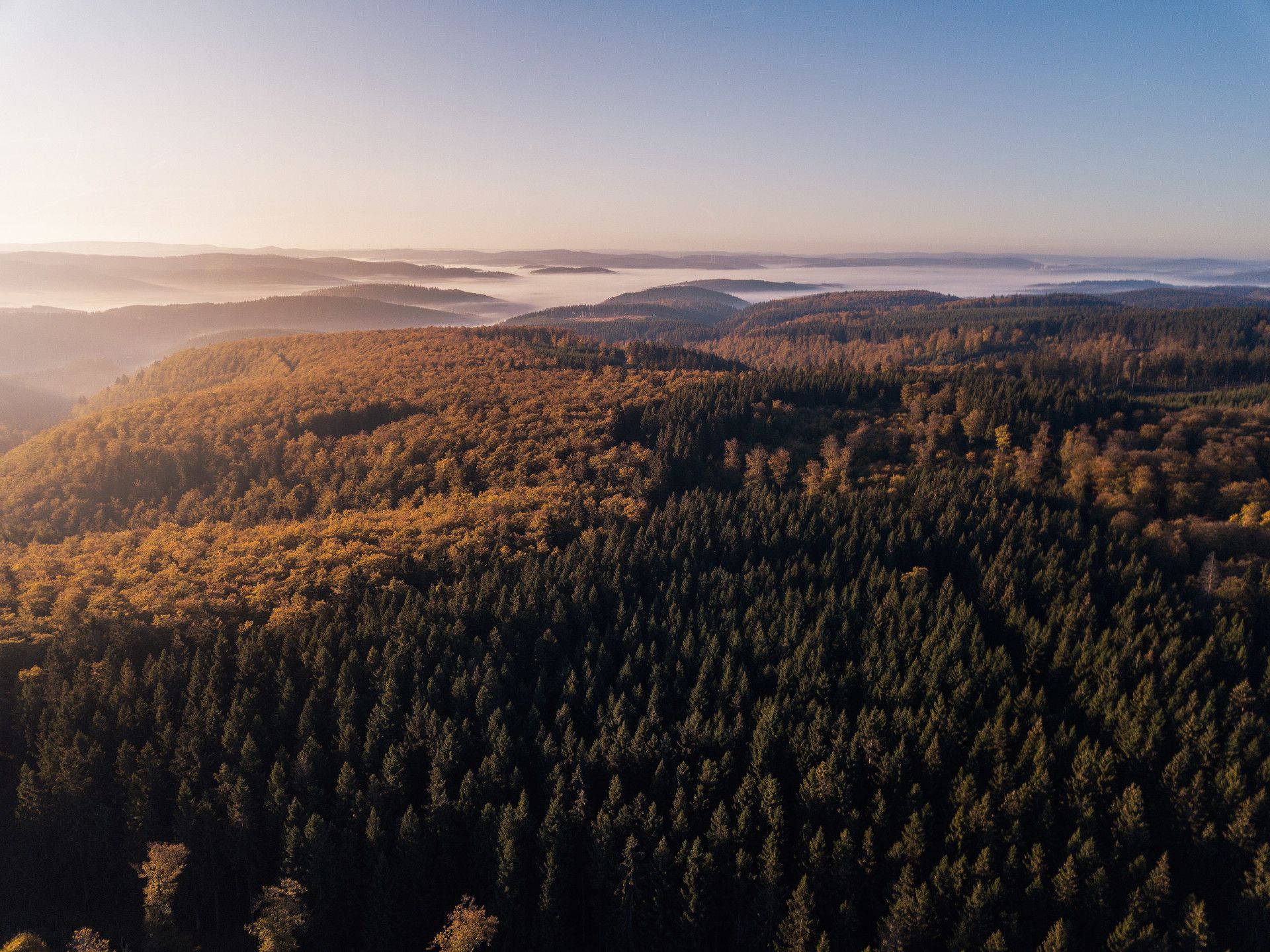
Blick über die Landschaft - Rothaarsteig-Spuren, © Rothaarsteigverein e.V. Klaus-Peter Kappest
Rothaarsteig-Spur Kahler Asten-Steig, © Rothaarsteigverein e.V. Klaus-Peter Kappest
Rothaarsteig-Spur Wisentpfad, © Rothaarsteigverein e.V. Klaus-Peter Kappest
Rothaarsteig-Spur Dill-Bergtour, © Rothaarsteigverein e.V. Klaus-Peter Kappest

More information

Discover it now!

Would you like to make an enquiry?

Please contact »Rothaarsteigverein e.V.« directly


Your contact details

I have taken note of the data protection declaration of Tourismus NRW e.V. and agree that the data I have provided may be collected and stored electronically for the purpose of contacting me.

Security question *

* Please complete this field

More hik­ing trails in NRW

Blick über die Landschaft - Rothaarsteig-Spuren, © Rothaarsteigverein e.V. Klaus-Peter Kappest

Rothaarsteig-tracks

Read more
Der Landweg ist einer der Bergischen Streifzüge, © Das Bergische GmbH

Ber­gisch Wan­der­ings

Read more
Canyon at the Teuto-Circuits hiking trails, © Rudolf Schubert

Teuto-Cir­cuits

Read more
wood figures at the Upland Trail, © Tourist-Information Willingen

Up­land Trail

Read more
Winterberg High-Altitude Trail, © Ferienwelt Winterberg

Win­ter­berg High-Alti­tude Trail

Read more
Kindelsbergpfad Fernblicke, © Natalie Glatter www.wandermagazin.de

Kindels­berg Trail

Read more
fog at the Ehmsen trail, © Julian Stratenschulte

Ehm­sen Trail

Read more
Bergisch Trail, © Das Bergische gGmbH

Ber­gisch Trail

Read more
The Veischede Sun Trail, © IG Veischedetal

Veischede Sun Trail

Read more
Rheinsteig hiking trail, © Tourismus NRW e.V.

Rhein­steig hik­ing trail

Read more
nrw-aktiv_radfahren_mg_0779_e

Ruhrhöhen­weg

Read more
Kalvarienberg Alendorf, © Johannes Höhn

Eifel Trail

Read more
Roman Canal Hiking Trail - aqueduct Mechernich, © Natalie Glatter, Wandermagazin

Ro­man Canal Hik­ing Trail

Read more
Sonnenuntergänge in der wie unberührt wirkenden Natur sind besonders beeindruckend, © Foto Oliver Franke / Tourismus NRW e.V.

Via Ad­rina – The “Pan­or­amic Path”

Read more
Extertal Burg Sternberg, © Gemeinde Extertal

Hanseat­ic Trail

Read more
River Sieg Nature Trail, © RadRegionRheinland e.V.

River Sieg Nature Trail

Read more
Rambler at the Viaduct Hiking Trail, © Gemeinde Altenbeken

Via­duct Hik­ing Trail

Read more
Medebach Mountain Trail, © Touristik-Gesellschaft Medebach mbH

Medebach Moun­tain Trail

Read more
Olsberg Kneipp Hiking Trail, © Dominik Ketz

Ols­berg Kneipp Hik­ing Trail

Read more
Hängebrücke bei Kühhude am Rothaarsteig, © Rothaarsteigverein e.V. Björn Hänssler

Rothaar Trail

Read more
Blick vom Hermannsdenkmal, © Teutoburger Wald Tourismus - OWL GmbH

Her­mann Heights Trail

Read more
Skulpturenpfade im Kreis Mettmann Kunstwege, © Stadt Heiligenhaus

Trails of art in Nean­der­land

Read more
Kupferroute Bank an der Gedenkstätte, © Birgit Engelen

Cop­per Trail

Read more
The river at the Neanderland Steig trail, © Kreis Mettmann Martina Chardin

Nean­der­land Steig Trail

Read more
Upper Sauerland Ridge Trail, © Ferienwelt Winterberg

Up­per Sauer­land Ridge Trail

Read more
break at the Ahrsteig, © www.ahrtal.de

Ahr­steig Trail

Read more
Wanderin fotografiert die Landschaft, © Joschka Meiburg

Cicu­lar Hik­ing Trails in the Maas-Schwalm-Nette Nature Park

Read more
two people enjoy the scenery at the Egge trail, © Teutoburger Wald Tourismus

Egge Trail

Read more
Die Usseler Heide ist Teil des Rundwegs, © Sauerland Höhenflug

Düd­ing­hausen Geo­lo­gic­al Trail

Read more
the landscape on Brilon Ridge Trail, © Brilon Wirtschaft und Tourismus GmbH

Bri­lon Ridge Trail

Read more
Old tree at the Hermann Trail, © OWL Marketing GmbH,S. Westermann

Her­mann Trail

Read more
Kleine Dörfer liegen auf dem Weg, © Uwe Völkner - Fotoagentur FOX

Way of St. James

Read more
Kleine Brücken führen den Bödefelder Hollenpfad über die Bäche, © Tourismus Schmallenberger Sauerland / K.-P. Kappest

Böde­feld­er Hol­len­pfad

Read more
Hikers at the Wilderness Trail, © G.Priske

Wil­der­ness Trail

Read more
In der Natur finden Wanderer interessante Pilze oder Pflanzen, © Foto Oliver Franke / Tourismus NRW e.V.

Wit­tgen­stein Slate Trail

Read more
panoramic views at the Bestwig Panorama Trail, © Reinhard Schmidtmann

Bestwig Pan­or­ama Trail

Read more
Sauerland High-Flyer - the view at the range of mountains, © Sauerland Höhenflug

Sauer­land High-Fly­er

Read more