Max Fischer @iamarux, Tourismus NRW e.V., The Externsteine, a rock formation in the Teutoburg Forest
About hiking and wellness pleasures
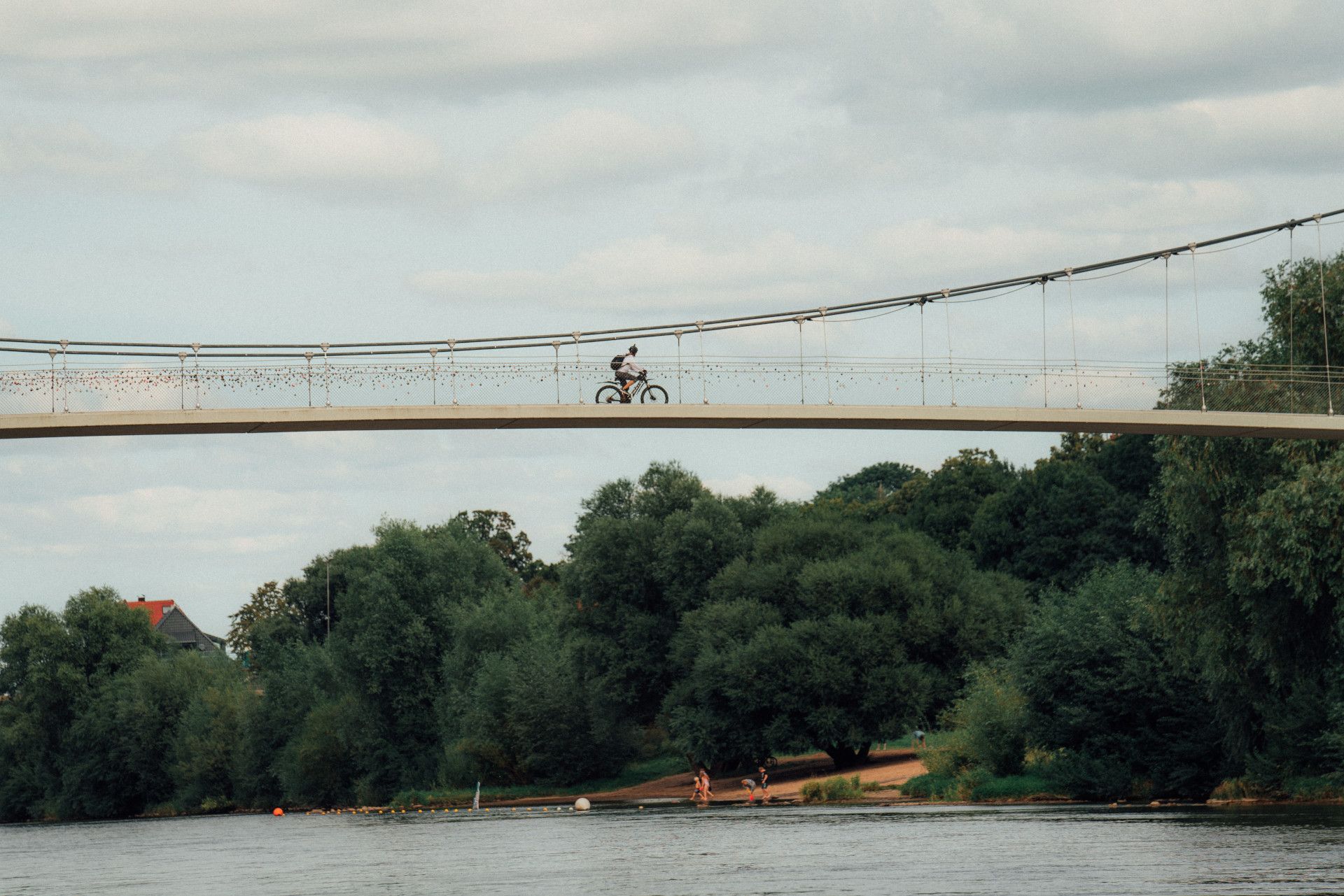
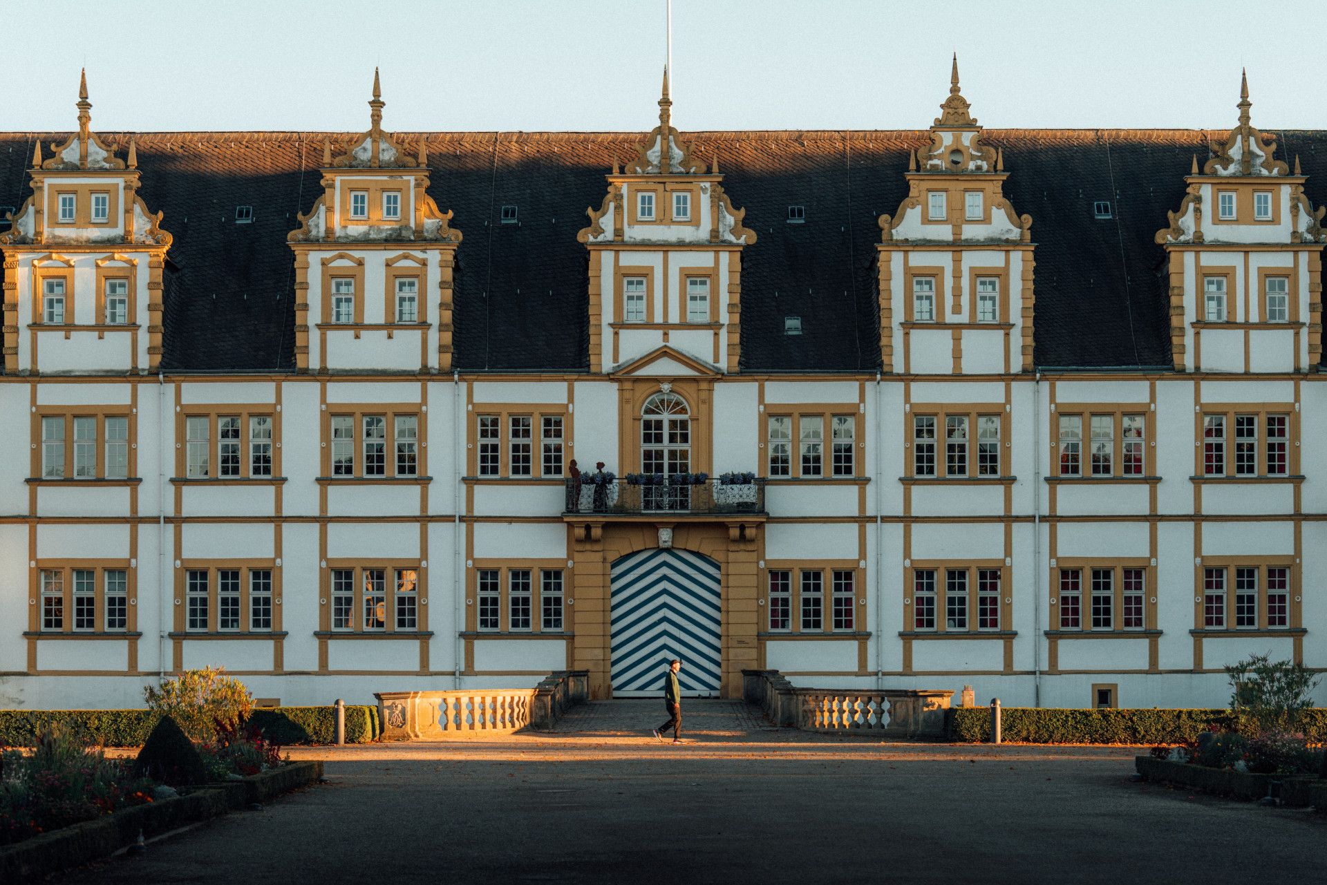
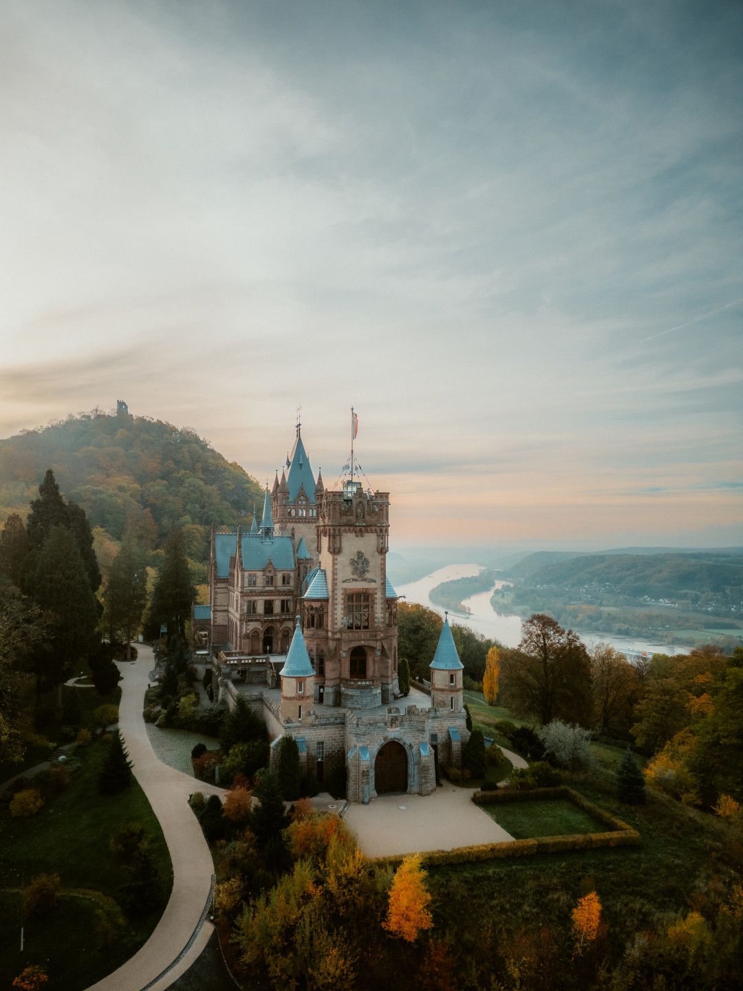
Teutoburg Forest
Tourismus NRW, The Hermann Monument is one of Germany's most famous monuments.
Teutoburg ForestTell us about it!
I'm not going to beat about the bush. I have the biggest. And I have the shortest. Now it's out! No, not what you think. I'm talking about the Hermann Monument, which, at exactly 53.46 metres, is the tallest statue in the whole of Germany. And I'm talking about the Pader, the shortest river in the country. So you realise I'm not stingy with superlatives.
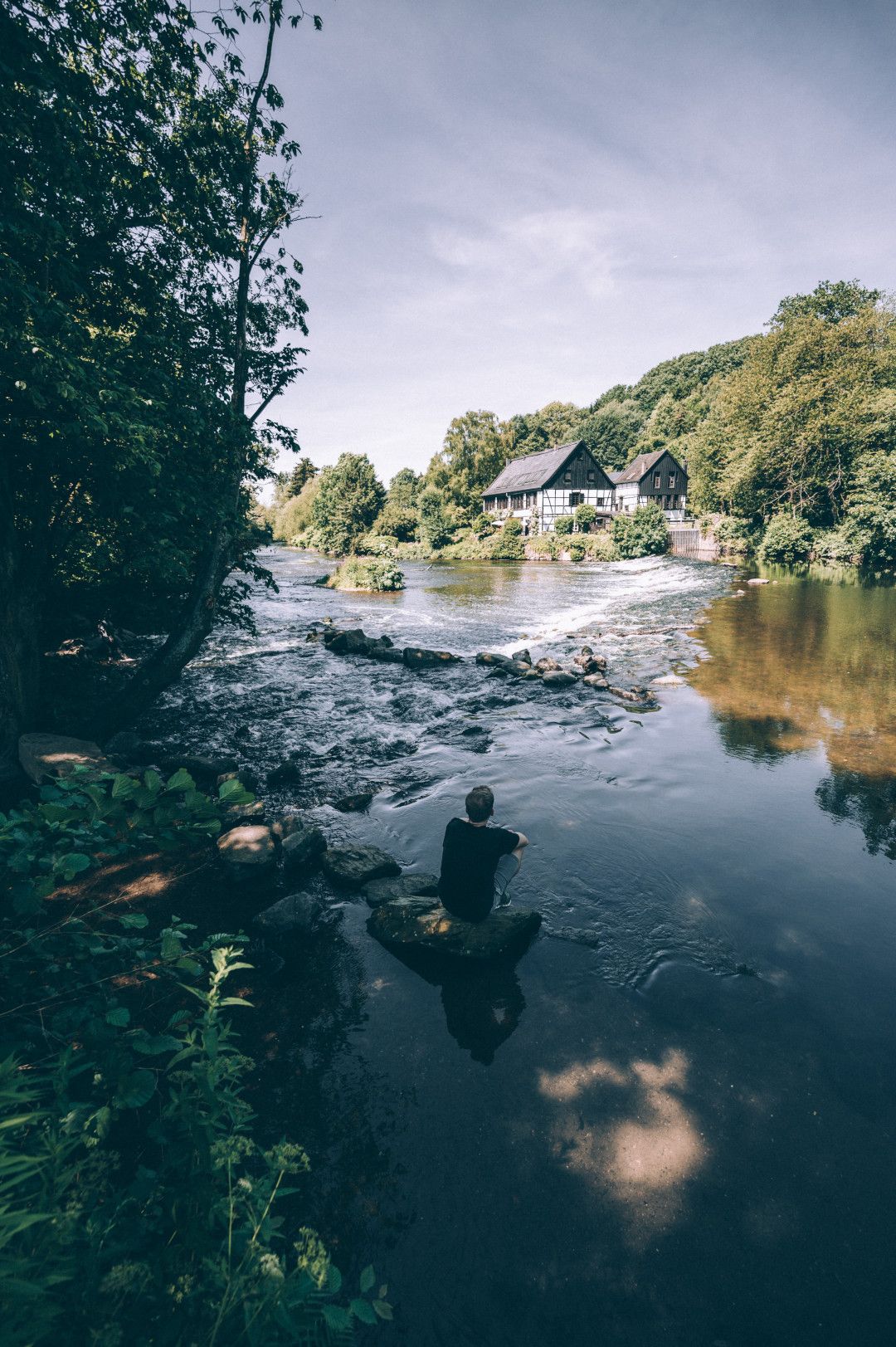
Want even more? No problem. Because the Teutoburg Forest may also be the healthiest region in North Rhine-Westphalia. Some people even call me the "healing garden of Germany". In any case, when you visit, it sometimes feels like you're right by the sea. Take a deep breath! Then you will feel the fine pearls of brine trickling down from the impressive graduation towers in Bad Salzuflen and elsewhere. Take a sip from one of the healing springs that bubble up in Bad Oeynhausen, for example. And after a dip in the moor, you are guaranteed to be revitalised and full of energy.
Then pack your bags and head for the Externsteine near Horn-Bad Meinberg. These huge boulders are 70 million years old and rise up into the sky from a lake in the middle of the forest, surrounded by all kinds of myths and legends. Are you a summiteer?
Fancy some mail? Then subscribe here to our every two months newsletter with information on special travel offers, selected short tips for short trips and other insider tips for travelling in North Rhine-Westphalia.