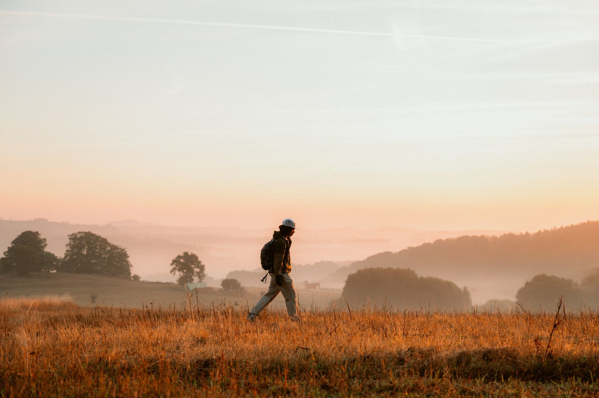
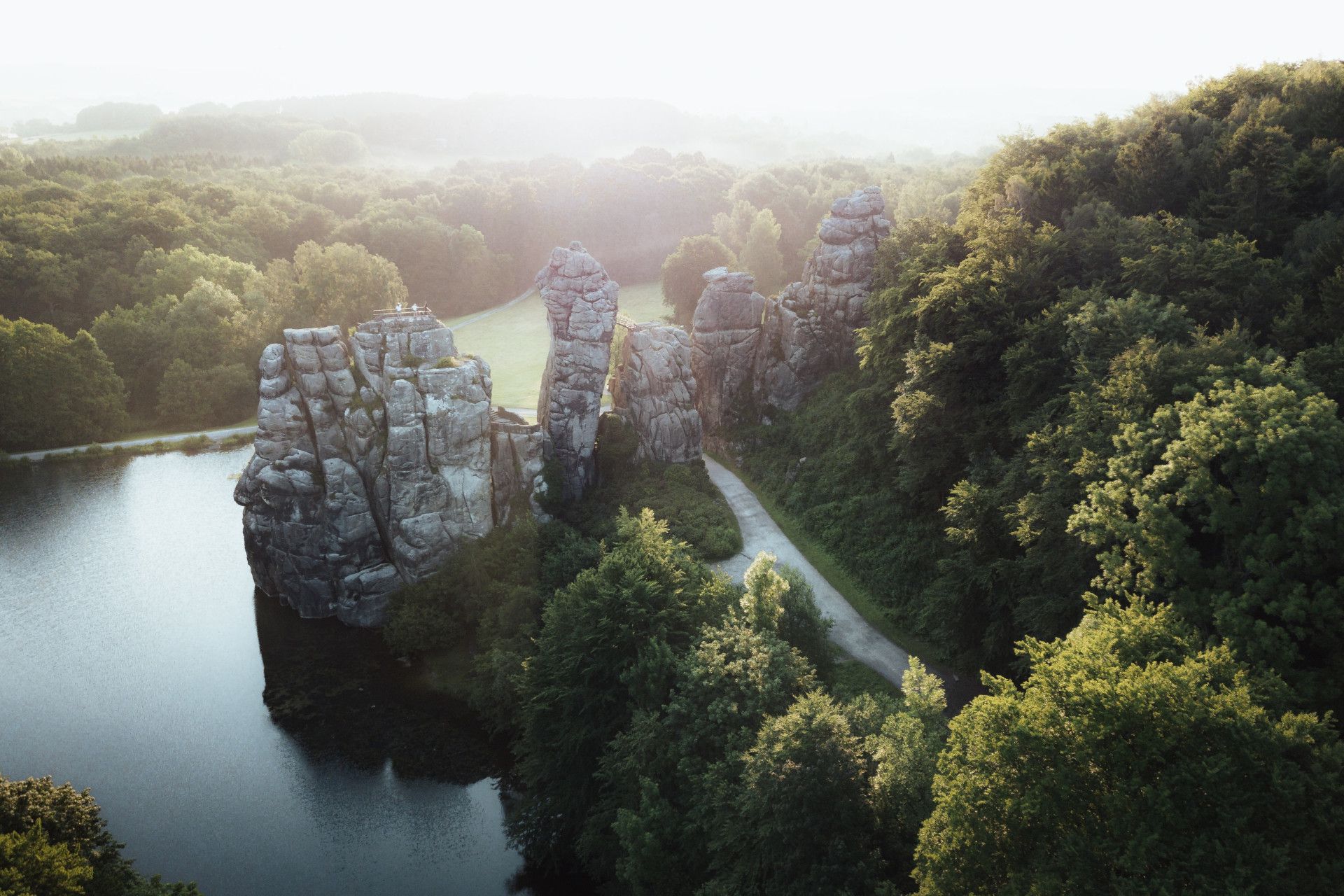
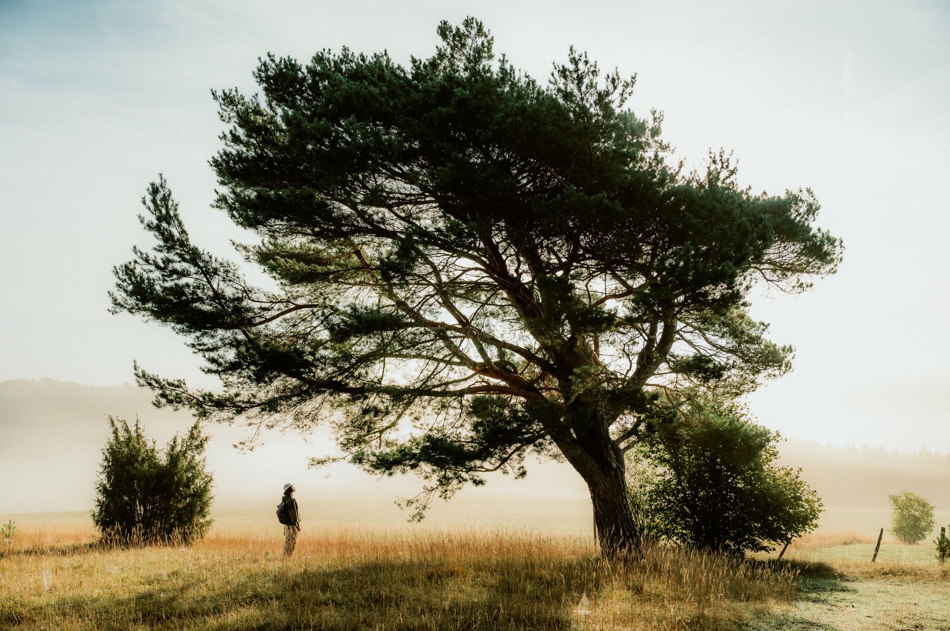
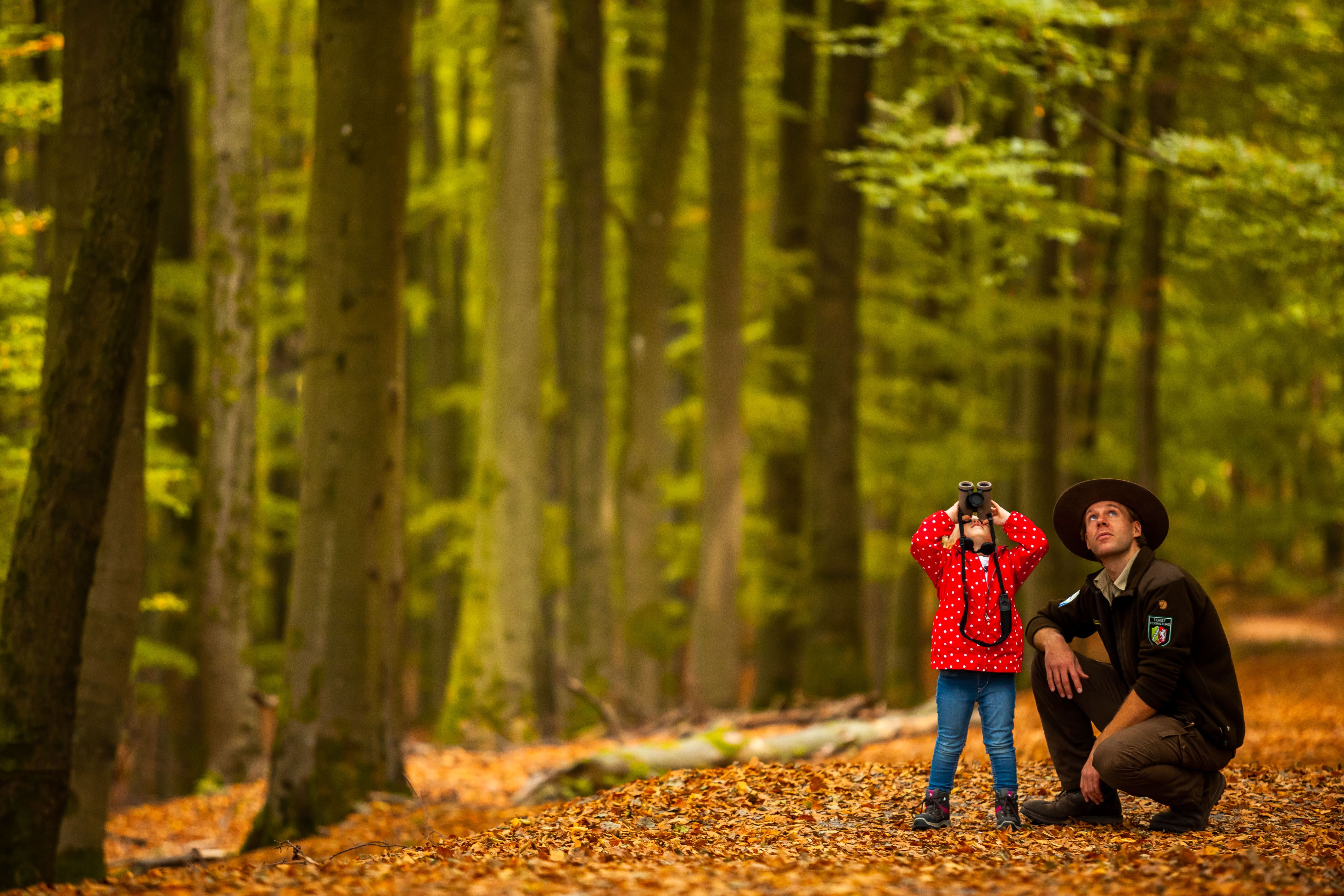
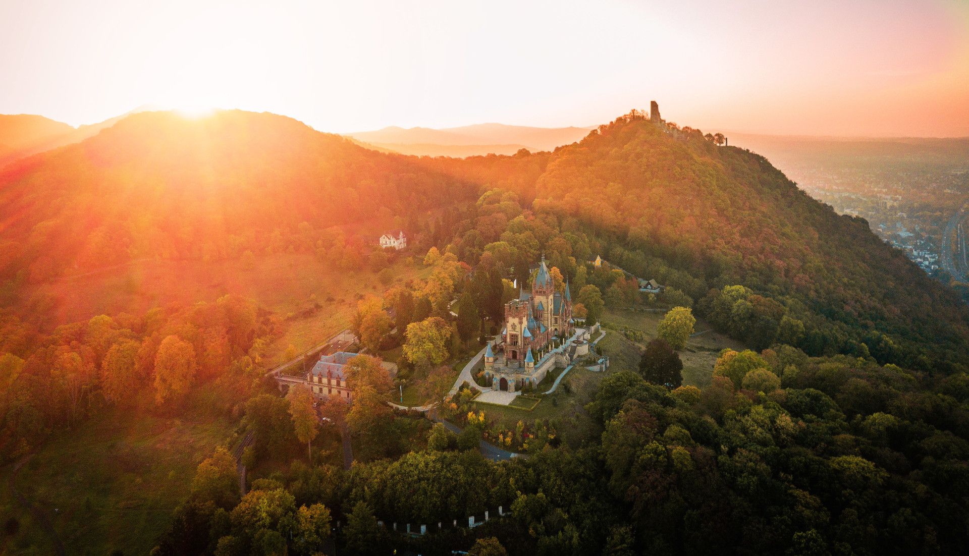
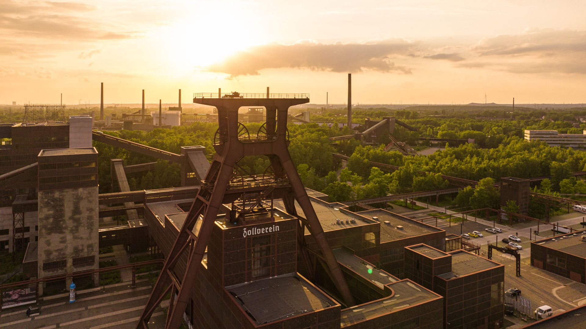
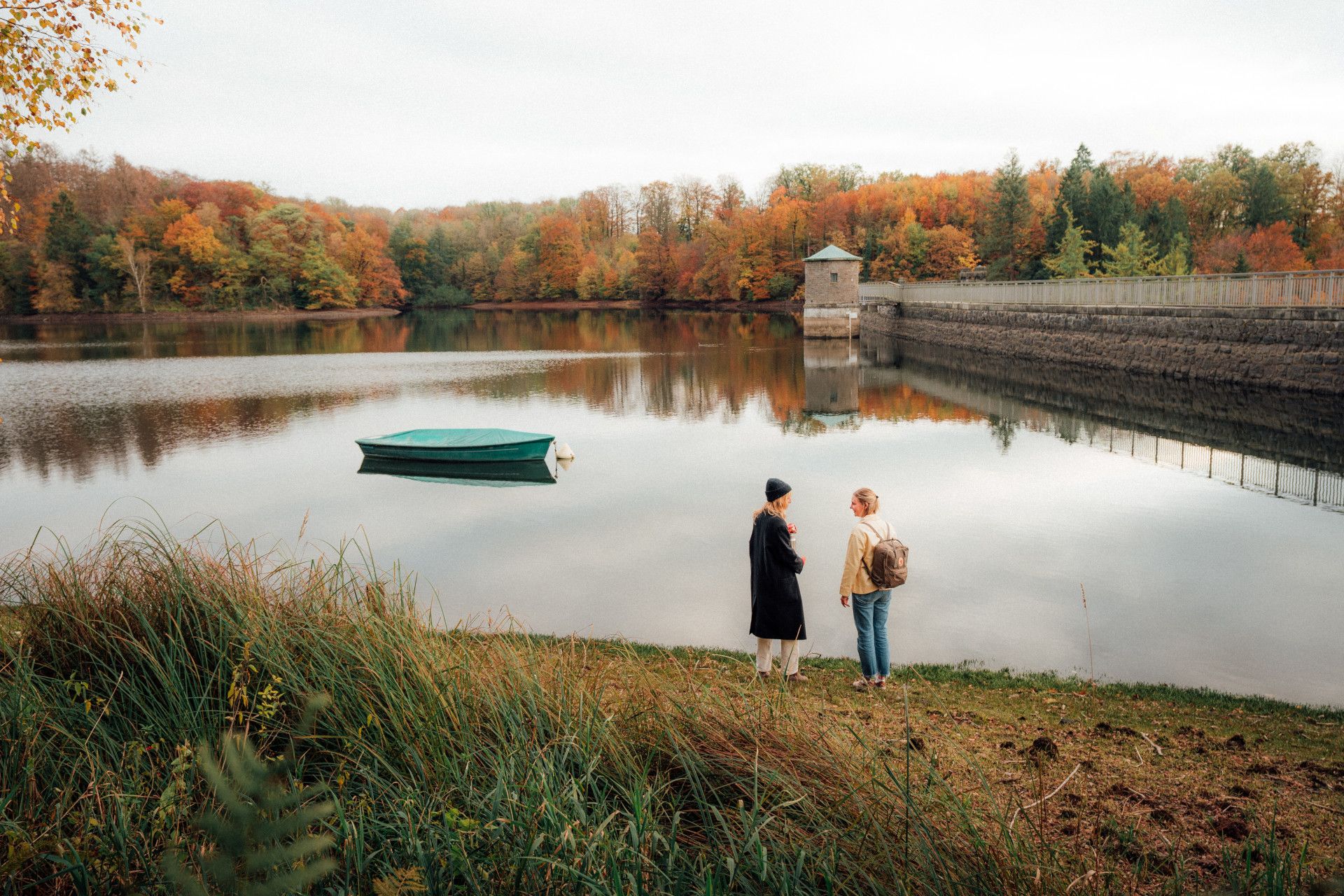
Rambler at the Viaduct Hiking Trail, © Gemeinde Altenbeken

Via­duct Hik­ing Trail

The per­fect route for rail­way en­thu­si­asts

A route where the rail­way is the star at­trac­tion: the Viadukt-Wander­weg (Via­duct Hik­ing Trail) re­wards hikers with spec­tac­u­lar views of the im­press­ive stone struc­ture.

Among railway enthusiasts, Altenbeken at the gateway to the Egge Hills in the Teutoburg Forest is renowned as a true jewel of railway history: an increasing number of visitors from all over Germany and Europe come here to explore the town’s long-standing railway tradition. Visible traces include the impressive railway viaduct – the largest stone railway bridge in Europe – as well as station buildings, the triangular junction and the 044-series museum steam engine in the centre of the town.

The Viadukt-Wanderweg (Viaduct Hiking Trail) runs for around 30 kilometres around Altenbeken and offers a fantastic way to experience both nature and the history of the railway. All along the route, hikers will get fantastic views of the mighty railway viaduct. An evening visit is particularly worthwhile for camera-at-the ready views of the illuminated viaduct, which is transformed into a work of lightart. Impressive shots can be captured at any time of the day from a viewing platform above the viaduct.

Other interesting sights await further along the route, including the “baby brother” of the Altenbeken viaduct. Known as the Little Viaduct, it spans the Dune Valley in no less spectacular fashion. Crossing the railway line through a tunnel of around 200 metres in length can be an exciting experience – especially for kids.

As well as adventure and spectacular views, this hike through the Teutoburg Forest also has plenty of places to stop for a break, such as farm cafés or a beer garden in a former monastery.

The German Hiking Association (DWV) has already awarded the “Qualitätsweg Wanderbares Deutschland” seal of quality to the Viaduct Hiking Trail a number of times.

Map of NRW

Tour overview

Info, data & tour route

Google Maps is rendered here. If Google Maps is accepted, data will be transfered to Google Maps.

Accept Google Maps
Distance in km
29
Duration in days
-
Walking/Journey time in hours
8

Highest point in metres
362
Uphill altitude difference
640
Downhill altitude difference
640
Tour Level
Level of difficulty
easy
  • Round trip
  • Family-friendly
  • Wheelchair-accessible

Images and videos

Be inspired: images of your NRW

Rambler at the Viaduct Hiking Trail, © Gemeinde Altenbeken
Das beeindruckende Viadukt gab dem Wanderweg seinen Namen, © Foto Ruhr Tourismus GmbH / Ziese

More information

Discover it now!

Would you like to make an enquiry?

Please contact »Tourist-Information Altenbeken« directly


Your contact details

I have taken note of the data protection declaration of Tourismus NRW e.V. and agree that the data I have provided may be collected and stored electronically for the purpose of contacting me.

Security question *

* Please complete this field

More hik­ing trails in NRW

Rambler at the Viaduct Hiking Trail, © Gemeinde Altenbeken

Via­duct Hik­ing Trail

Read more
fog at the Ehmsen trail, © Julian Stratenschulte

Ehm­sen Trail

Read more
Blick vom Hermannsdenkmal, © Teutoburger Wald Tourismus - OWL GmbH

Her­mann Heights Trail

Read more
Upper Sauerland Ridge Trail, © Ferienwelt Winterberg

Up­per Sauer­land Ridge Trail

Read more
Kindelsbergpfad Fernblicke, © Natalie Glatter www.wandermagazin.de

Kindels­berg Trail

Read more
nrw-aktiv_radfahren_mg_0779_e

Ruhrhöhen­weg

Read more
Medebach Mountain Trail, © Touristik-Gesellschaft Medebach mbH

Medebach Moun­tain Trail

Read more
Hikers at the Wilderness Trail, © G.Priske

Wil­der­ness Trail

Read more
Winterberg High-Altitude Trail, © Ferienwelt Winterberg

Win­ter­berg High-Alti­tude Trail

Read more
two people enjoy the scenery at the Egge trail, © Teutoburger Wald Tourismus

Egge Trail

Read more
Der Landweg ist einer der Bergischen Streifzüge, © Das Bergische GmbH

Ber­gisch Wan­der­ings

Read more
Canyon at the Teuto-Circuits hiking trails, © Rudolf Schubert

Teuto-Cir­cuits

Read more
Bergisch Trail, © Das Bergische gGmbH

Ber­gisch Trail

Read more
The river at the Neanderland Steig trail, © Kreis Mettmann Martina Chardin

Nean­der­land Steig Trail

Read more
In der Natur finden Wanderer interessante Pilze oder Pflanzen, © Foto Oliver Franke / Tourismus NRW e.V.

Wit­tgen­stein Slate Trail

Read more
Old tree at the Hermann Trail, © OWL Marketing GmbH,S. Westermann

Her­mann Trail

Read more
the landscape on Brilon Ridge Trail, © Brilon Wirtschaft und Tourismus GmbH

Bri­lon Ridge Trail

Read more
Kleine Dörfer liegen auf dem Weg, © Uwe Völkner - Fotoagentur FOX

Way of St. James

Read more
Sauerland High-Flyer - the view at the range of mountains, © Sauerland Höhenflug

Sauer­land High-Fly­er

Read more
Wanderin fotografiert die Landschaft, © Joschka Meiburg

Cicu­lar Hik­ing Trails in the Maas-Schwalm-Nette Nature Park

Read more
River Sieg Nature Trail, © RadRegionRheinland e.V.

River Sieg Nature Trail

Read more
break at the Ahrsteig, © www.ahrtal.de

Ahr­steig Trail

Read more
Sonnenuntergänge in der wie unberührt wirkenden Natur sind besonders beeindruckend, © Foto Oliver Franke / Tourismus NRW e.V.

Via Ad­rina – The “Pan­or­amic Path”

Read more
panoramic views at the Bestwig Panorama Trail, © Reinhard Schmidtmann

Bestwig Pan­or­ama Trail

Read more
Skulpturenpfade im Kreis Mettmann Kunstwege, © Stadt Heiligenhaus

Trails of art in Nean­der­land

Read more
Kupferroute Bank an der Gedenkstätte, © Birgit Engelen

Cop­per Trail

Read more
Extertal Burg Sternberg, © Gemeinde Extertal

Hanseat­ic Trail

Read more
Kleine Brücken führen den Bödefelder Hollenpfad über die Bäche, © Tourismus Schmallenberger Sauerland / K.-P. Kappest

Böde­feld­er Hol­len­pfad

Read more
Kalvarienberg Alendorf, © Johannes Höhn

Eifel Trail

Read more
Olsberg Kneipp Hiking Trail, © Dominik Ketz

Ols­berg Kneipp Hik­ing Trail

Read more
The Veischede Sun Trail, © IG Veischedetal

Veischede Sun Trail

Read more
Rheinsteig hiking trail, © Tourismus NRW e.V.

Rhein­steig hik­ing trail

Read more
Blick über die Landschaft - Rothaarsteig-Spuren, © Rothaarsteigverein e.V. Klaus-Peter Kappest

Rothaarsteig-tracks

Read more
Hängebrücke bei Kühhude am Rothaarsteig, © Rothaarsteigverein e.V. Björn Hänssler

Rothaar Trail

Read more
wood figures at the Upland Trail, © Tourist-Information Willingen

Up­land Trail

Read more
Die Usseler Heide ist Teil des Rundwegs, © Sauerland Höhenflug

Düd­ing­hausen Geo­lo­gic­al Trail

Read more
Roman Canal Hiking Trail - aqueduct Mechernich, © Natalie Glatter, Wandermagazin

Ro­man Canal Hik­ing Trail

Read more