Hiker stands in front of a headframe with an information board in front of it

Bergbauweg

Rösrath
  • Hiking, Regional hiking trail, Theme trail
  • 12 km
  • 3:25 Hours
  • medium
Where the Romans dug for ore - 2,000 years of mining in Rösrath. Along the trail, ten stations provide information about the development of ore mining, the technology used and the legends surrounding Lüderich mountain.

Tour details

  • Length:12.06 km
  • Duration:3:25 Hours
  • Uphill:236 hm
  • Downhill:232 hm
  • Difficulty:medium
  • Category:Hiking, Regional hiking trail, Theme trail
  • Features:
  • Signposting
  • Culturally interesting
  • Good public transport connections
  • Circular route

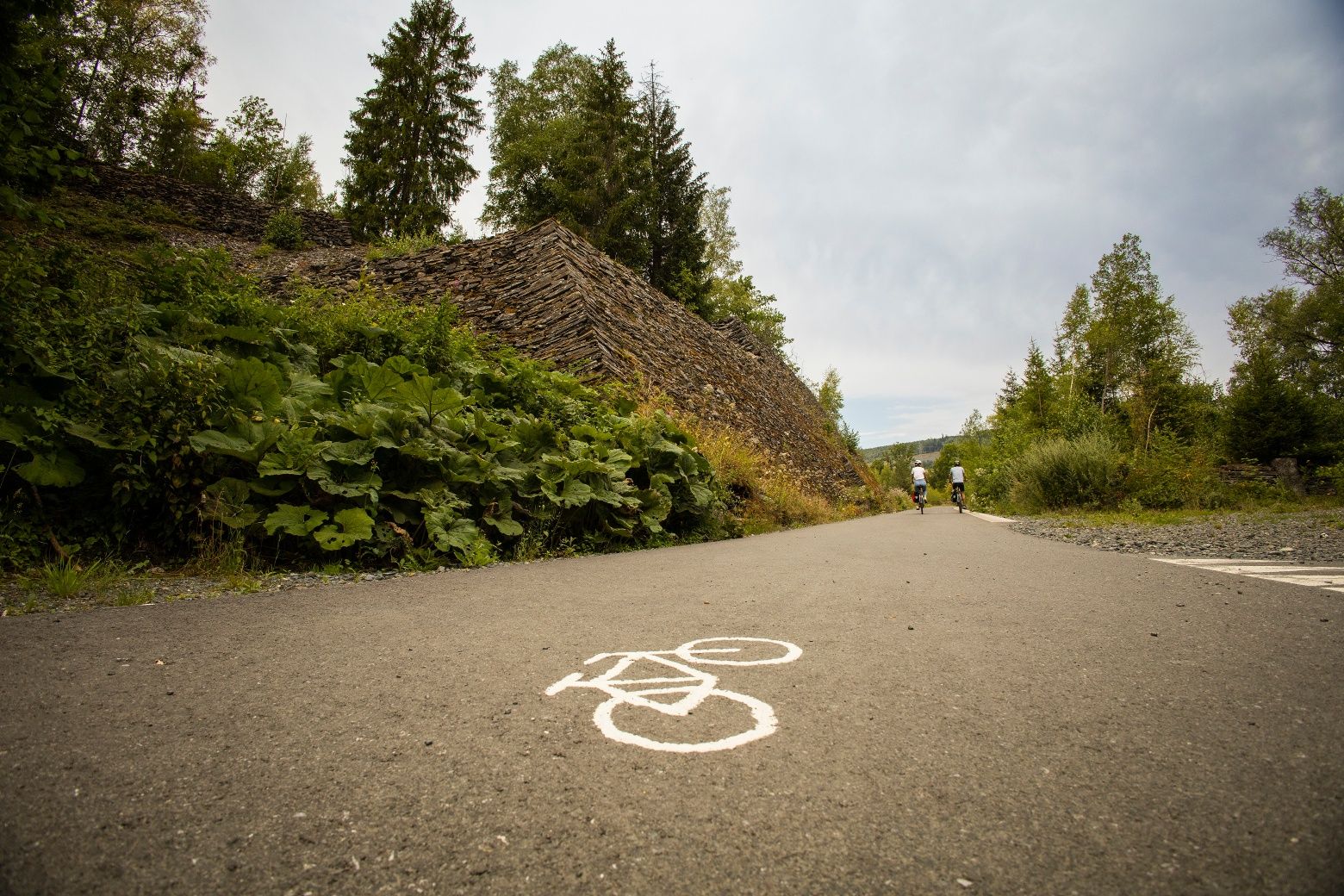
The Rösrath Mining Trail is a twelve-kilometre circular hiking trail that delves deep into the area's 2,000-year mining history. Roman legionnaires were already mining ore here, and mining had a significant impact on the region until 1978. Along the trail, ten stations provide information about the development of ore mining, the technology used and the legends surrounding Lüderich Mountain. One audio station, for example, plays the traditional "Steigerlied" (miners' song). Elsewhere, a St. Barbara's cross rises into the sky, dedicated to the miners of the Lüderich mine and offering an impressive view over the valleys of Dresbach, Holzbach, Sülz and Eschbach.The hike starts and ends at Hoffnungsthal railroad station in Rösrath, making it easy to get there by public transport. There is also a puzzle tour as an extra adventure, which involves breaking the curse of an enchanted miner's lamp.

Good to knowMore information

Contact

Bergbauweg (Streifzug #15)

Rotdornallee
51503 Rösrath

Phone: +49 2204 / 843000

E-Mail: info@bergisches-wanderland.de

More tours at a glance

  • A gravel bike stands on an abandoned industrial site with old pipes and brick buildings in the background.
    Urbaner GravelRide: Zwischen StreetArt & LostPlaces
    Oberhausen
    Diese 33 Kilometer lange Runde verknüpft lässige Schotterpisten mit ungewöhnlicher Streetart und einigen (fast) vergessenen Orten. Start- und Zielort ist das beeindruckende Gelände der ehemaligen Zeche Ewald in Herten. Parkplätze sind zu genüge vorhanden. Die passende Frühstücksstärkung gibt es im beliebten Ewald Café.
    Urbaner GravelRide: Zwischen StreetArt & LostPlaces
  • Bauernhofweg (Farm Trail) Streifzug #18
    Lohmar
    Bauernhofweg (Farm Trail) Streifzug #18
    Bauernhofweg (Farm Trail) Streifzug #18
  • Rhine Cycle Route (NRW section) - left bank
    Bonn
    Europe's most famous river - the Rhine - flows tirelessly over a total length of 1,320 kilometers through large parts of Germany, Switzerland, France and the Netherlands. On its journey to the sea, the Rhine flows for over 226 kilometers through NRW, the most exciting section of the Rhine Cycle Route
    Rhine Cycle Route (NRW section) - left bank
New tips every two months

Insider tips & excursion ideasNewsletter

Fancy some mail? Then subscribe here to our every two months newsletter with information on special travel offers, selected short tips for short trips and other insider tips for travelling in North Rhine-Westphalia.

Click here to register