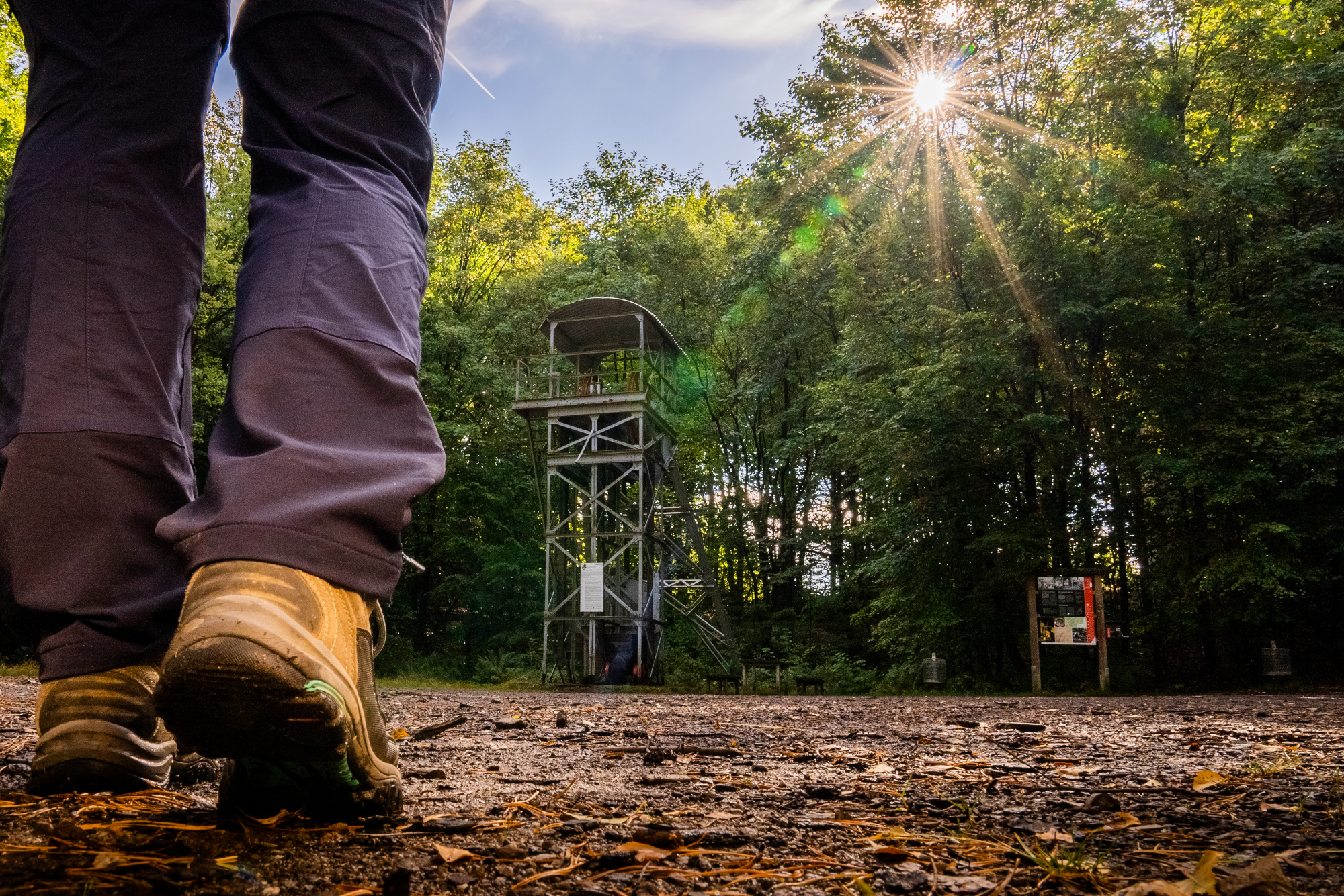
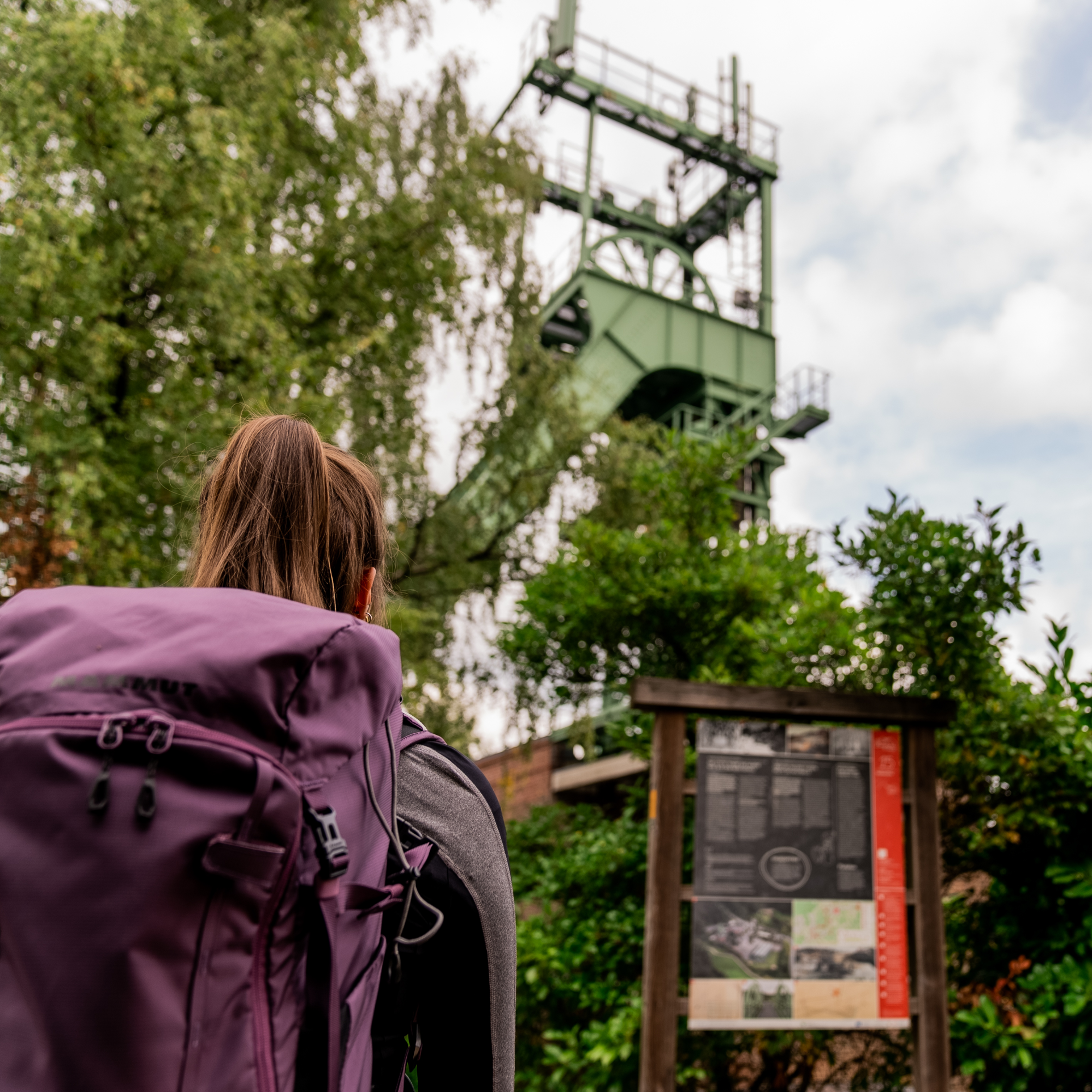
Hiker stands in front of a headframe with an information board in front of it

Bergbauweg

Rösrath
  • Hiking, Regional hiking trail, Theme trail
  • 12 km
  • 3:25 Hours
  • medium
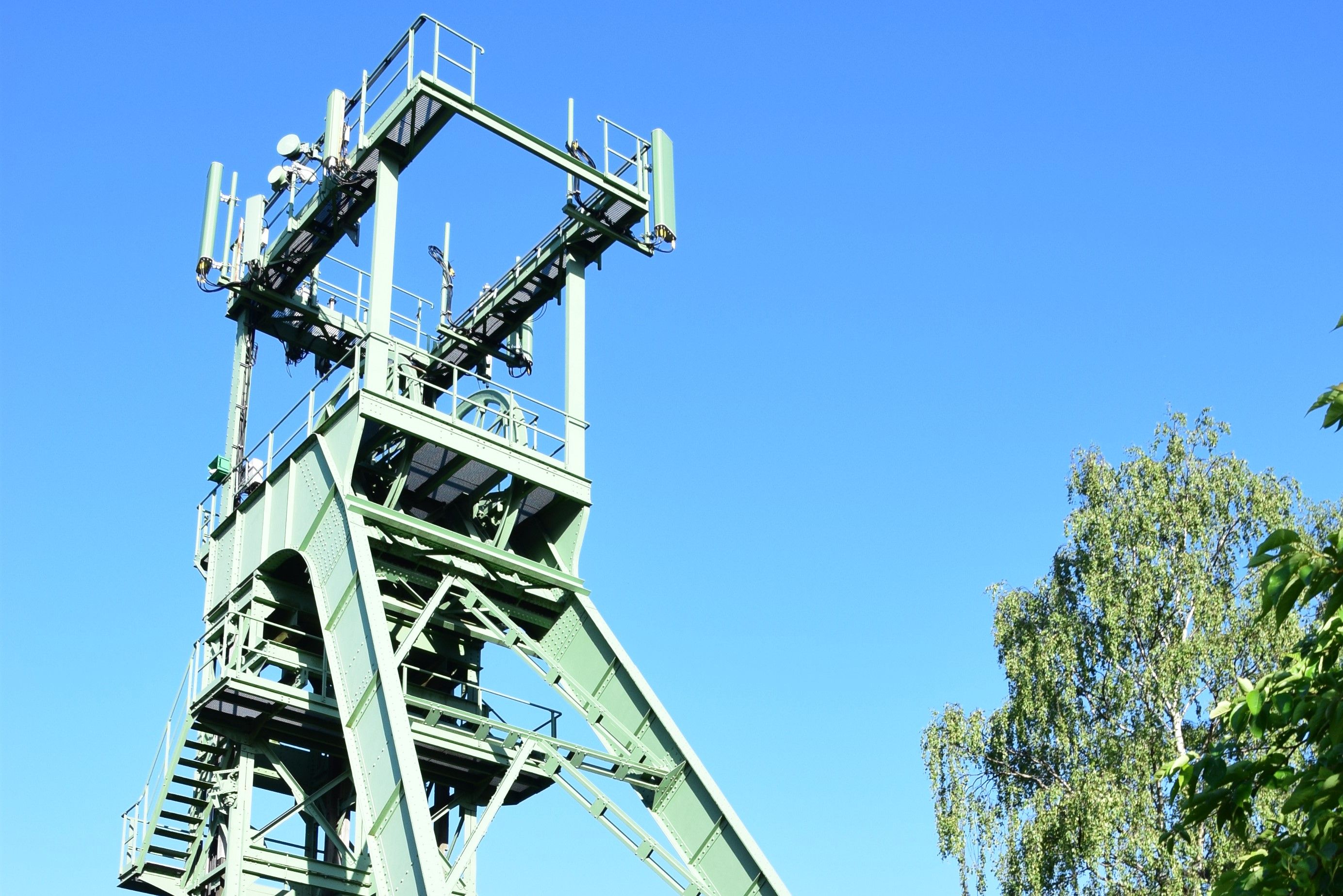
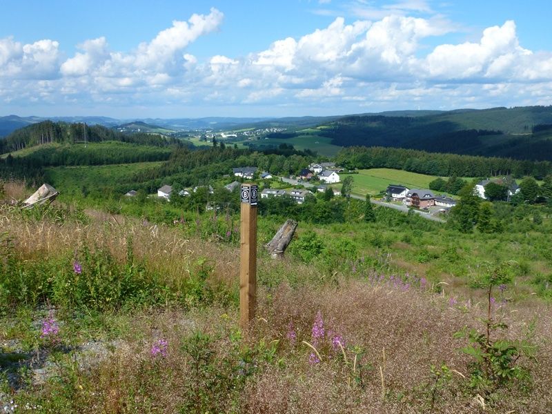
Where the Romans dug for ore - 2,000 years of mining in Rösrath. Along the trail, ten stations provide information about the development of ore mining, the technology used and the legends surrounding Lüderich mountain.

Tour details

  • Length:12.06 km
  • Duration:3:25 Hours
  • Uphill:236 hm
  • Downhill:232 hm
  • Difficulty:medium
  • Category:Hiking, Regional hiking trail, Theme trail
  • Features:
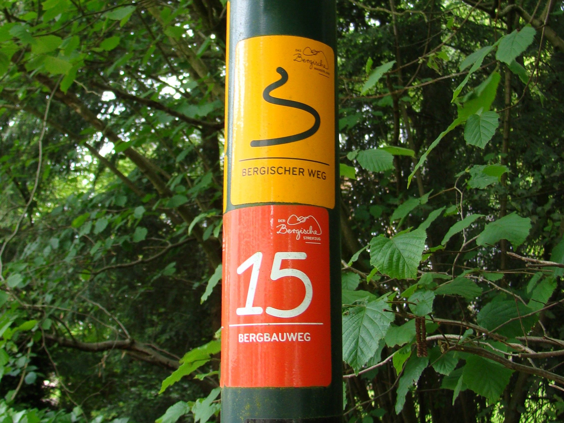
  • Signposting
  • Culturally interesting
  • Good public transport connections
  • Circular route

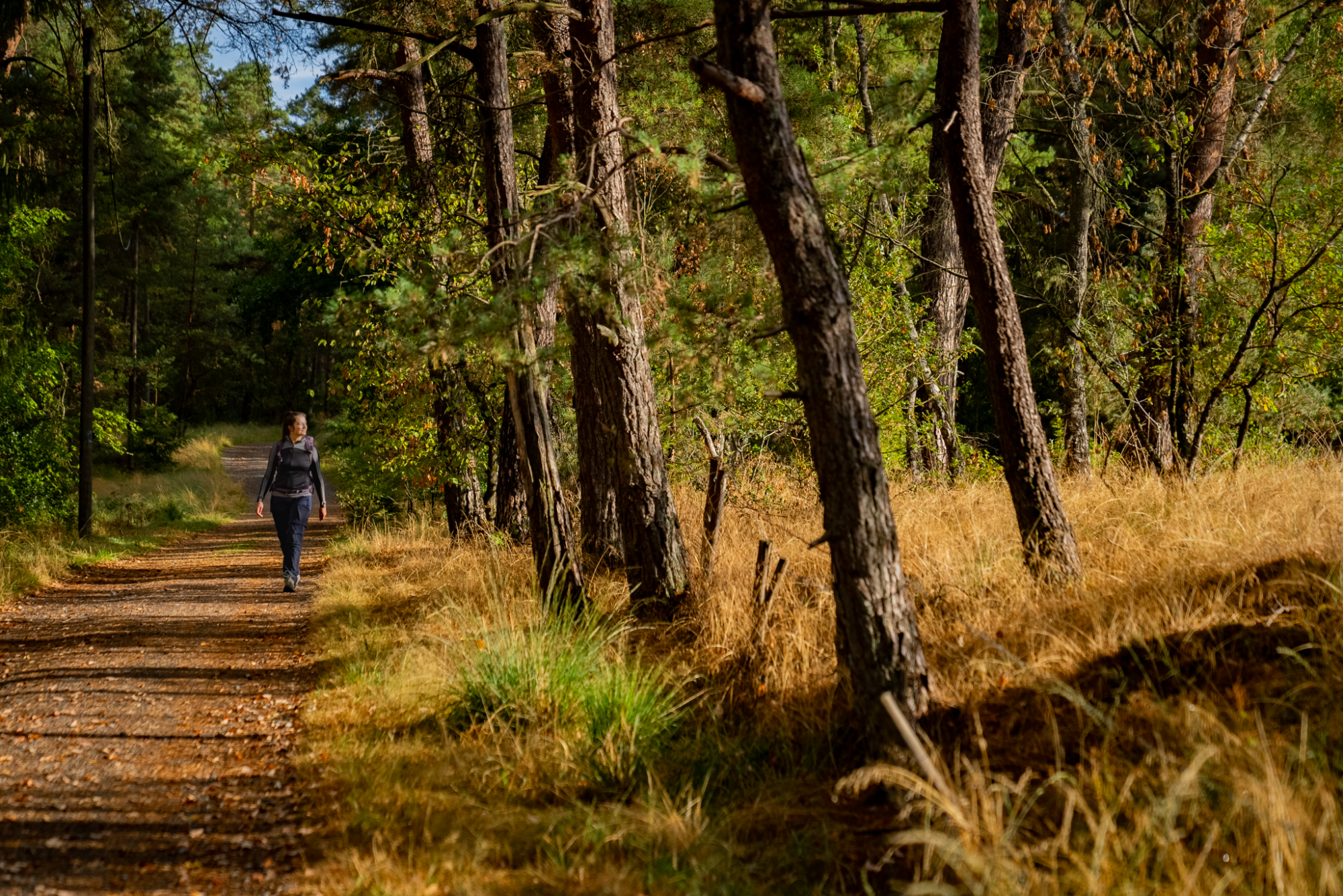
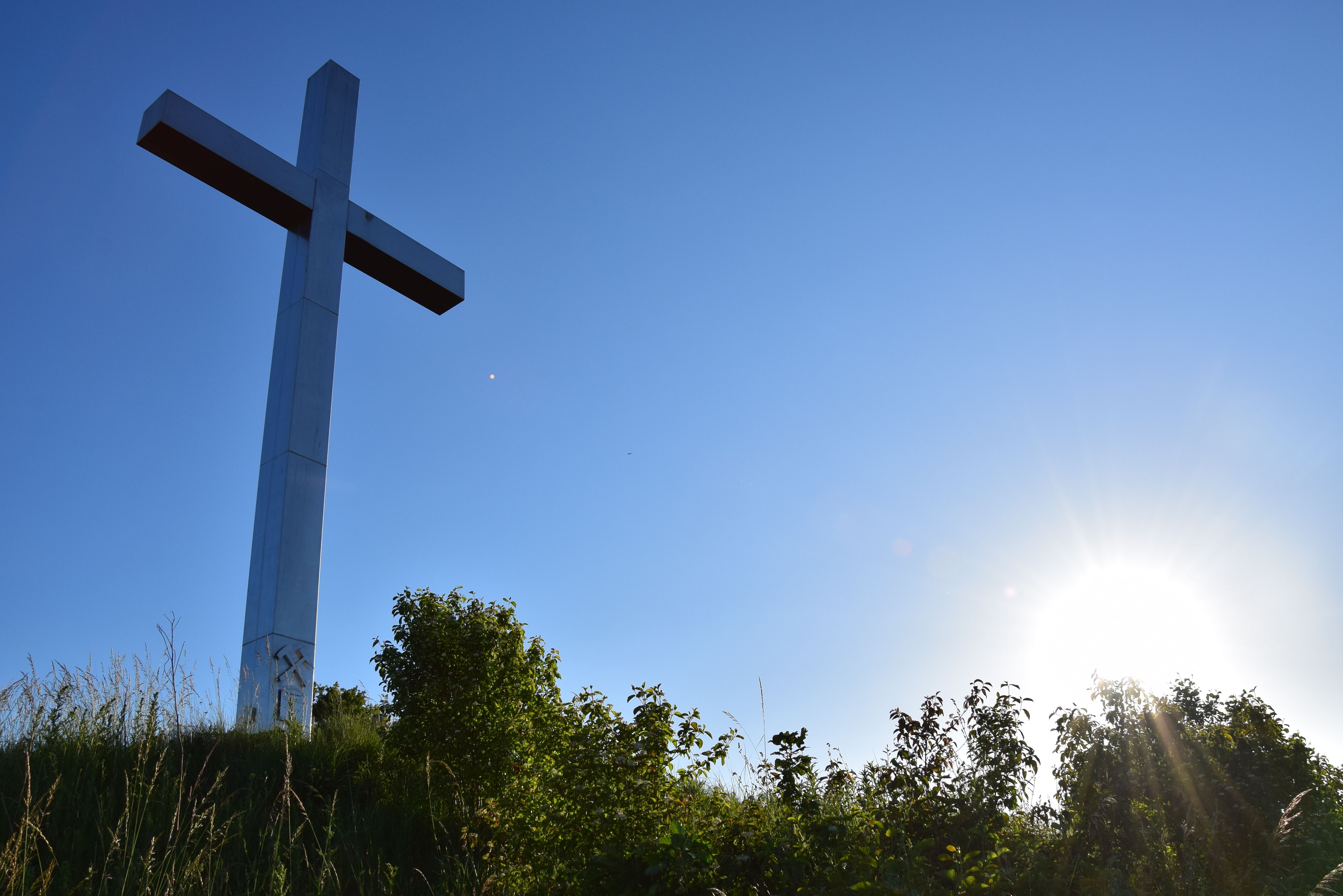
The Rösrath Mining Trail is a twelve-kilometre circular hiking trail that delves deep into the area's 2,000-year mining history. Roman legionnaires were already mining ore here, and mining had a significant impact on the region until 1978. Along the trail, ten stations provide information about the development of ore mining, the technology used and the legends surrounding Lüderich Mountain. One audio station, for example, plays the traditional "Steigerlied" (miners' song). Elsewhere, a St. Barbara's cross rises into the sky, dedicated to the miners of the Lüderich mine and offering an impressive view over the valleys of Dresbach, Holzbach, Sülz and Eschbach.The hike starts and ends at Hoffnungsthal railroad station in Rösrath, making it easy to get there by public transport. There is also a puzzle tour as an extra adventure, which involves breaking the curse of an enchanted miner's lamp.
Good to know

More information

Contact

Bergbauweg (Streifzug #15)

Rotdornallee
51503 Rösrath

Phone: +49 2204 / 843000

E-Mail: info@bergisches-wanderland.de
More tours at a glance

  • To Page Rhine Cycle Route (NRW section) - right bank

    Rhine Cycle Route (NRW section) - right bank

    Bad Honnef
    The most famous European river - the Rhine - flows tirelessly over a total length of 1,320 kilometres through large parts of Germany, Switzerland, France and the Netherlands. On its journey to the sea, the Rhine flows for more than 226 kilometres through NRW, the most eventful section of the Rhine Cycle Route.
    Rhine Cycle Route (NRW section) - right bank
  • To Page Rothaarkamm

    Rothaarkamm

    Hilchenbach
    Main ridge of the Rothaargebirge - the bison world in Wingeshausen - Ederauen cycle path - Zinser Bachtal valley
    Rothaarkamm
  • To Page MTB-Portal Hilchenbach (1): Seven Summits Hilchenbach

    MTB-Portal Hilchenbach (1): Seven Summits Hilchenbach

    Hilchenbach
    Riemen, Klarstein, Gillerberg, Pfaffenhain, Buchenhain, Drei Buchen und Hüttenberg heißen die „7 Summits“ – Hilchenbachs höchste Berge – die Sie auf dieser Tour passieren. Die Tour führt Sie von den weithin sichtbaren Windrädern über die Oberndorfer Höhe zum höchsten Berg des Siegerlandes, dem Riemen. Nun klettern Sie in östlichem Bogen um Hilchenbach noch weitere fünf Mal die Berge hinauf, bis Sie wieder zum Hilchenbacher Marktplatz zurückkehren.
    MTB-Portal Hilchenbach (1): Seven Summits Hilchenbach
New tips every two months

Insider tips & excursion ideas

Newsletter

Fancy some mail? Then subscribe here to our every two months newsletter with information on special travel offers, selected short tips for short trips and other insider tips for travelling in North Rhine-Westphalia.

Click here to register