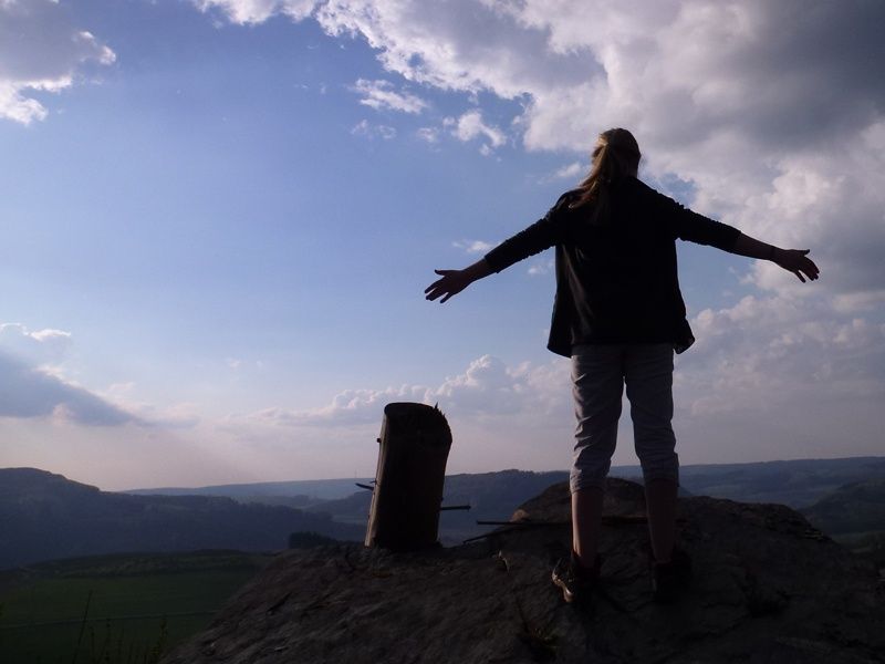
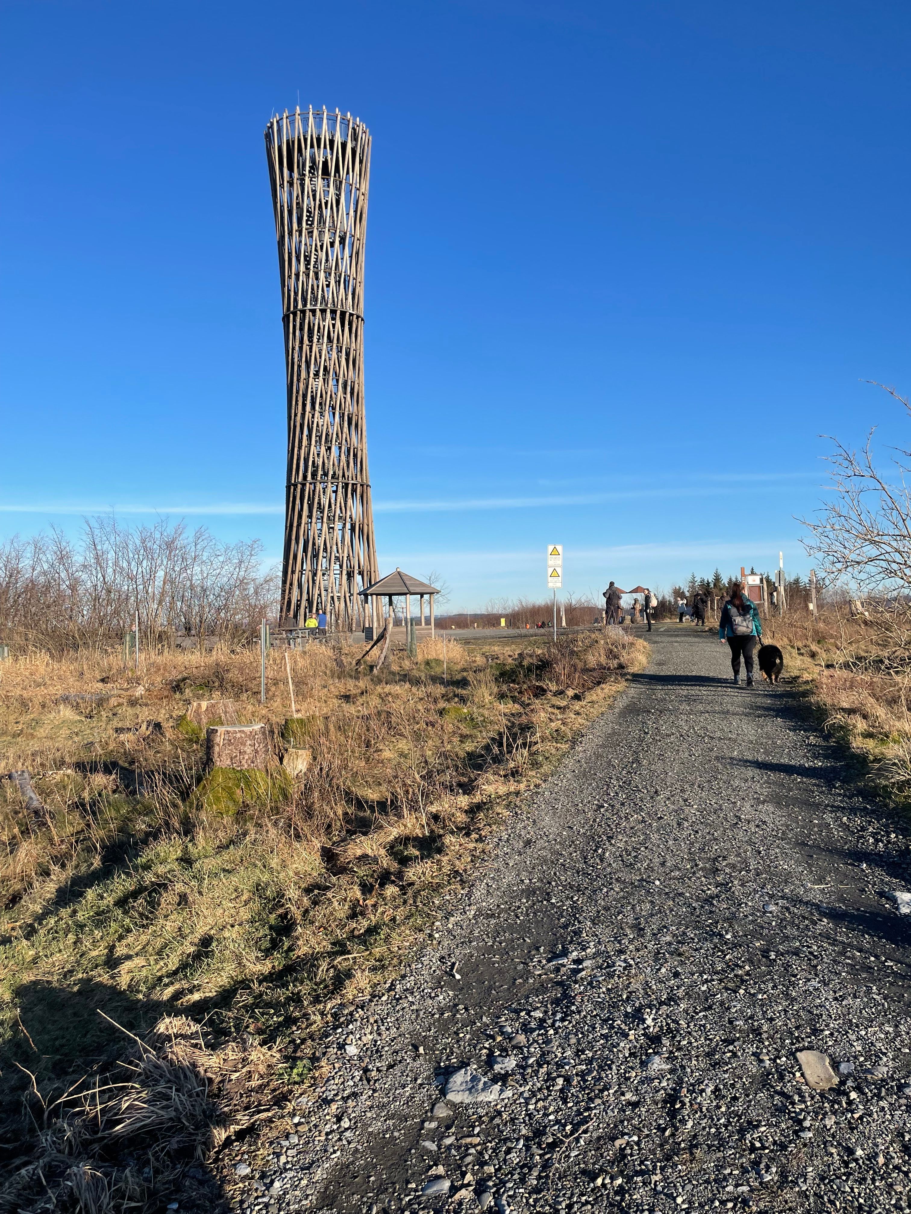
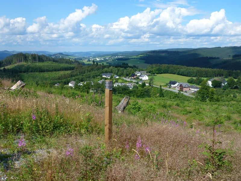
View of the valley from the Bestwig Panorama Trail
Tourist-Informationen Rund um den Hennesee, Ferienregion Hennesee, View of the valley from the Bestwig Panorama Trail

Bestwiger Panoramaweg

Bestwig
  • Hiking, Long-distance hiking trail
  • 56 km
  • 16:41 Hours
  • medium
The Bestwiger Panorama Trail shines with many beautiful, sometimes spectacular panoramic views. For the most part, the trail runs along the ridges of the Sauerland, but also past the only natural waterfall in North Rhine-Westphalia.

Tour details

  • Length:56.07 km
  • Duration:16:41 Hours
  • Uphill:1733 hm
  • Downhill:1732 hm
  • Difficulty:medium
  • Category:Hiking, Long-distance hiking trail
  • Features:
  • Signposting
  • Summit
  • Culturally interesting
  • Multi-day tour
  • Circular route

The Bestwig Panorama Trail connects the picturesque villages of the municipality of Bestwig in the Sauerland over a distance of around 50 kilometers. Its name says it all: numerous vantage points offer spectacular views of the surrounding low mountain range landscape. The route leads through dense forests, past historic half-timbered houses and along relics of ore and slate mining. A particular highlight is the Plästerlegge, the only natural waterfall in North Rhine-Westphalia. Adventure-seekers can take a detour to the Fort Fun leisure park, where the 800-metre-high Stüppelturm tower offers an impressive panoramic view. Another striking destination is the Steinberg ruins near Ostwig, an unfinished chimney that now serves as a lookout tower and offers sweeping views over the Ruhr and Elpe valleys. The challenging trail is certified as a "Wanderbares Deutschland" quality trail and is suitable for both day trips and tours lasting several days. Accommodation and refreshment stops can be found directly along the route.
certificates and markings

  • Quality Trail Wanderbares Deutschland

Good to knowMore information

Contact

Bestwiger Panoramaweg (B)


59909 Bestwig
More tours at a glance

  • Mountain biking in the Sauerland
    MTB-Portal Hilchenbach (1): Seven Summits Hilchenbach
    Hilchenbach
    Riemen, Klarstein, Gillerberg, Pfaffenhain, Buchenhain, Drei Buchen und Hüttenberg heißen die „7 Summits“ – Hilchenbachs höchste Berge – die Sie auf dieser Tour passieren. Die Tour führt Sie von den weithin sichtbaren Windrädern über die Oberndorfer Höhe zum höchsten Berg des Siegerlandes, dem Riemen. Nun klettern Sie in östlichem Bogen um Hilchenbach noch weitere fünf Mal die Berge hinauf, bis Sie wieder zum Hilchenbacher Marktplatz zurückkehren.
    MTB-Portal Hilchenbach (1): Seven Summits Hilchenbach
  • BaldeneySteig
    Essen
    Ganz klar: Das Wandern ist längst nicht mehr nur allein des Müllers Lust. Das wäre auch zu schade, denn seit 2017 lädt der knapp 27 Kilometer lange BaldeneySteig zu Wandertouren rund um Essens Stausee ein. Es geht durch Wälder, über Wiesen und Felder und vorbei an urigen Bauernhöfen. Tolle Ausblicke inklusive. Zudem gibt es vier Abstecher zu besonderen kulturellen Highlights, die von der Hauptroute aus erlaufen werden können. Wenn die Füße mal nach einer Pause verlangen, lassen sich Teile des Steigs, der mit 600 Höhenmetern aufwartet, auch mit dem ÖPNV, der Weißen Flotte oder der Hespertalbahn zurücklegen.
    BaldeneySteig
  • Velmerstot-Route
    Horn-Bad Meinberg
    The summit is calling: the Velmerstot route leads up to the highest elevation in the Eggegebirge mountains, the Velmerstot. It descends through the Silberbach valley. This 11-kilometre trail is almost mystical and fairytale-like.
    Velmerstot-Route
New tips every two months

Insider tips & excursion ideasNewsletter

Fancy some mail? Then subscribe here to our every two months newsletter with information on special travel offers, selected short tips for short trips and other insider tips for travelling in North Rhine-Westphalia.

Click here to register