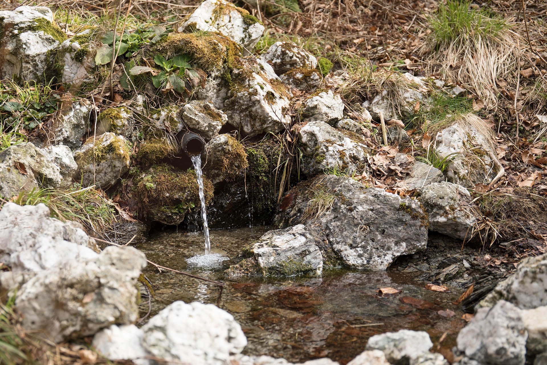
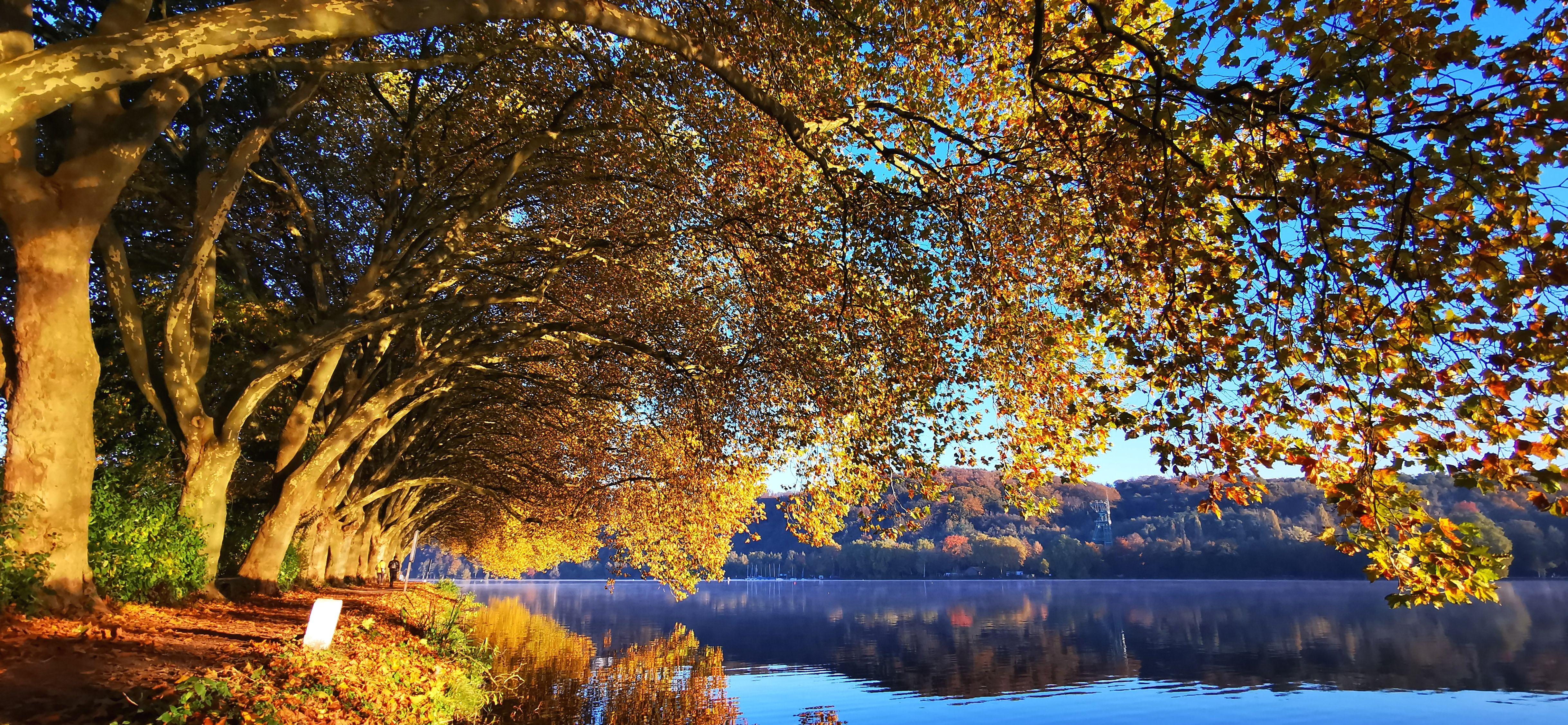
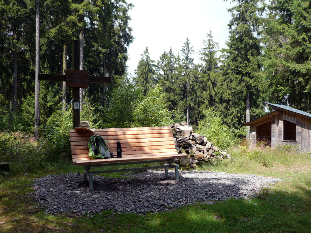
The Kindelsberg Trail combines nature experience and mining history. The 14-kilometre circular hiking trail near Kreuztal in Siegerland leads through the Loher Tal nature reserve. A highlight of the hike is the ascent to the 618-metre-high Kindelsberg, at the top of which a viewing tower gives you an even higher view of the surrounding area. On a clear day, you can see as far as the Siebengebirge mountains from here. Along the way, 24 information boards provide information about the region's flora, fauna and mining past. The varied route with its narrow paths and dense forests requires sure-footedness and good footwear. The Kindelsberg hut near the viewing tower offers refreshments. A stop for hot summer days is the Zitzenbach natural outdoor pool: it offers free refreshment from the morning, when the early swimmers do their laps, until the evening.

- Hiking, Regional hiking trail
- 13 km
- 4:45 Hours
- medium
The Kindelsberg Trail combines flora and fauna with evidence of mining and crowns it all with outstanding panoramic views.
Tour details
- Length:13.08 km
- Duration:4:45 Hours
- Uphill:332 hm
- Downhill:332 hm
- Difficulty:medium
- Category:Hiking, Regional hiking trail
- Features:
- Summit
- Culturally interesting
- Circular route
Klaus-Peter Kappest, Touristikverband Siegen-Wittgenstein e.V. Kappest, Klaus-Peter, Stadt Hilchenbach, View from Kindelsberg in Siegerland Klaus-Peter Kappest, Touristikverband Siegen-Wittgenstein e.V. Klaus-Peter Kappest, Touristikverband Siegen-Wittgenstein e.V. Klaus-Peter Kappest, Touristikverband Siegen-Wittgenstein e.V. Klaus-Peter Kappest, Touristikverband Siegen-Wittgenstein e.V. Klaus-Peter Kappest, Touristikverband Siegen-Wittgenstein e.V. Klaus-Peter Kappest, Touristikverband Siegen-Wittgenstein e.V. Stadt Kreuztal Stadt Kreuztal Klaus-Peter Kappest, Touristikverband Siegen-Wittgenstein e.V. Klaus-Peter Kappest, Touristikverband Siegen-Wittgenstein e.V. Klaus-Peter Kappest, Touristikverband Siegen-Wittgenstein e.V. Klaus-Peter Kappest, Touristikverband Siegen-Wittgenstein e.V. Klaus-Peter Kappest, Touristikverband Siegen-Wittgenstein e.V.


Downloads
Good to know
More information
Contact
Kindelsbergpfad
57223 Kreuztal