Aggertal dam
Dominik Ketz

Bergischer Panoramasteig

Engelskirchen
  • Hiking, Long-distance hiking trail
  • 245 km
  • 71:59 Hours
  • medium
A hiking trail with magnificent views of reservoirs, rivers and lakes. The Bergische Panoramasteig leads 244 kilometers through the Bergisches Land Nature Park. Discover the most beautiful water landscapes in the region with the most reservoirs in Europe!
      • Start and finishBrückenstraße 6, 51766 Engelskirchen-Ründeroth (near the bus stop "Ründeroth Seniorenheim")
      • Difficultymedium
      • Length245 km
      • Duration71:59 Hours
      • Uphill5968 m
      • Downhill5961 m
      • Hiking
      • Long-distance hiking trail
      • Signposting
      • Tour with dog
      • Swimming
      • Quality Trail Wanderbares Deutschland
      • Culinary interesting
      • Culturally interesting
      • Multi-day tour
      • Good public transport connections
      • Circular route
      • Bergischer Panoramasteig

        Brückenstraße 51766 Engelskirchen

        +49 2204 / 8430 - 00

        Email

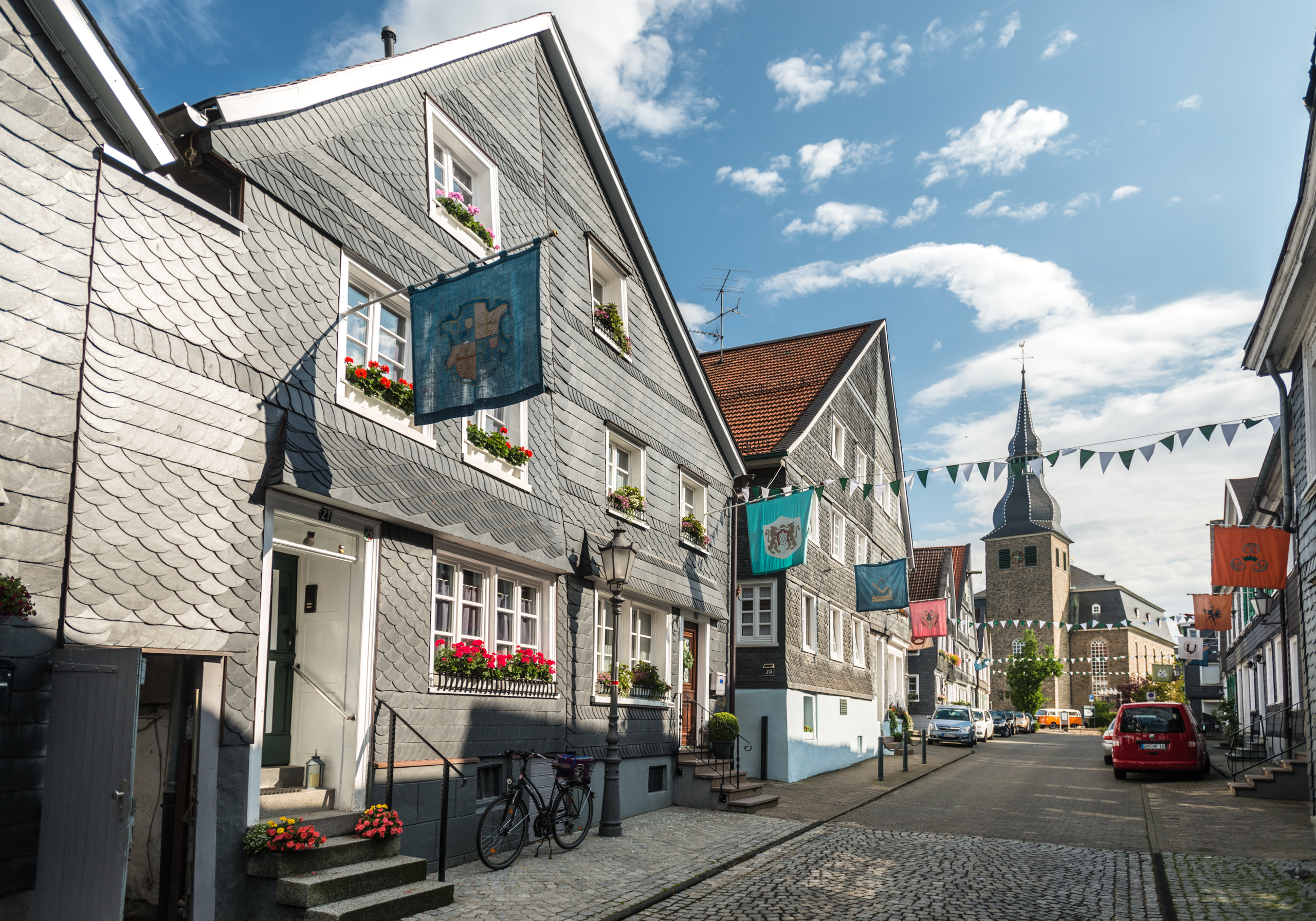
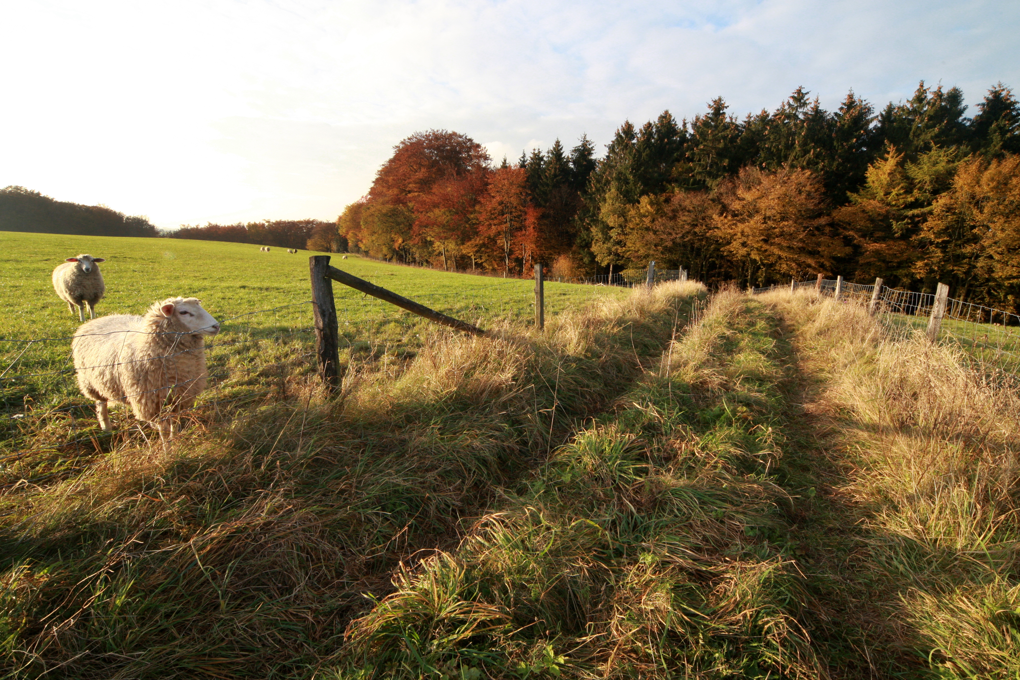
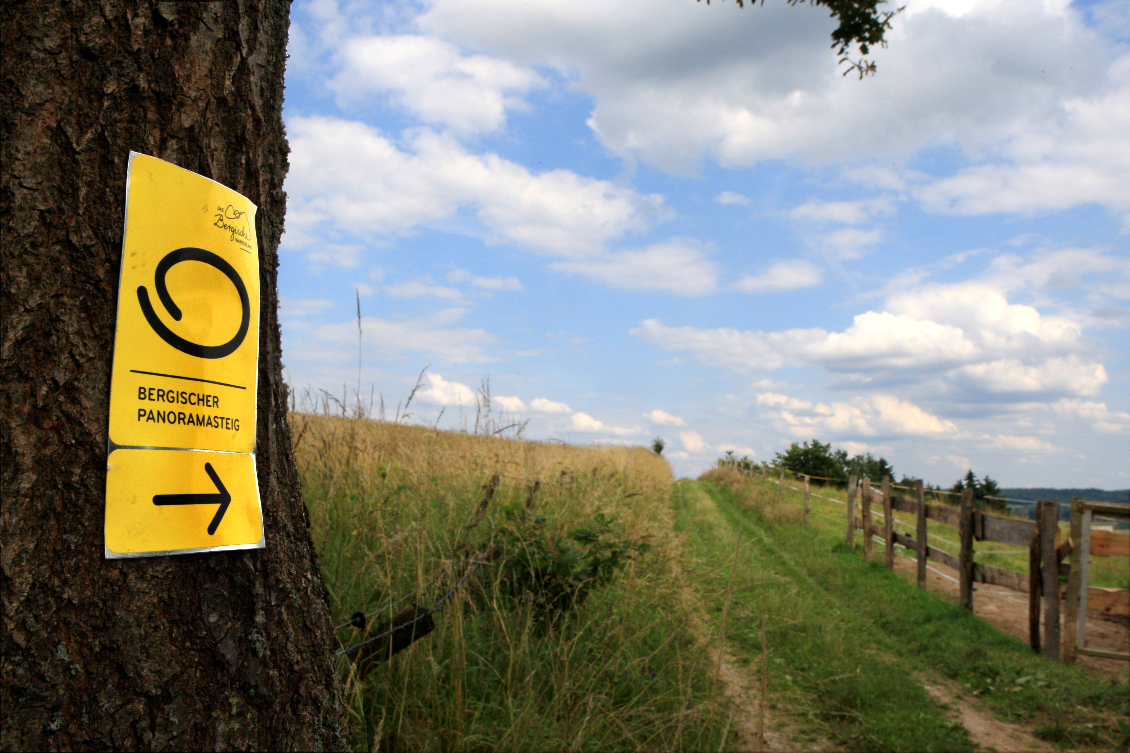
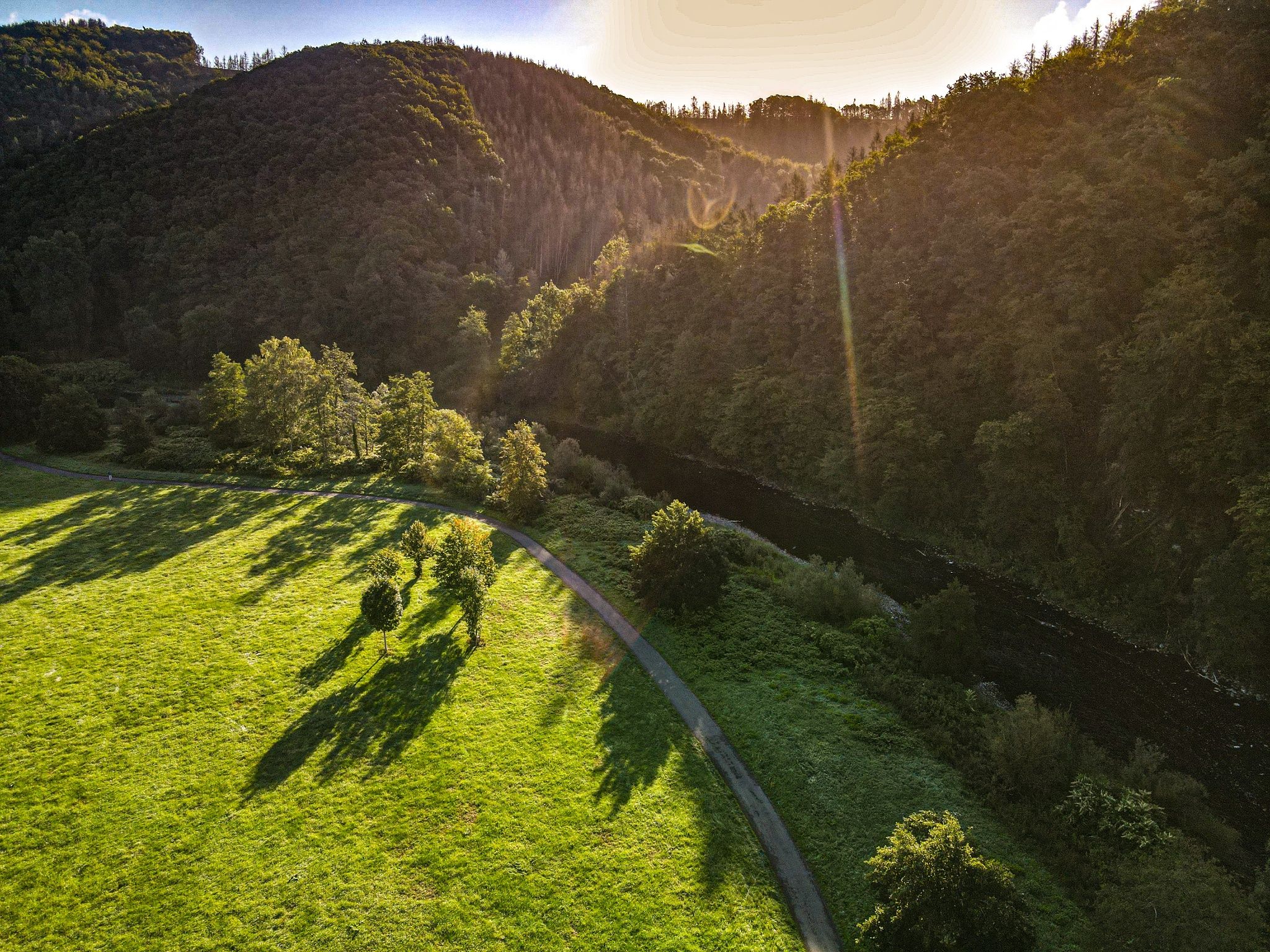
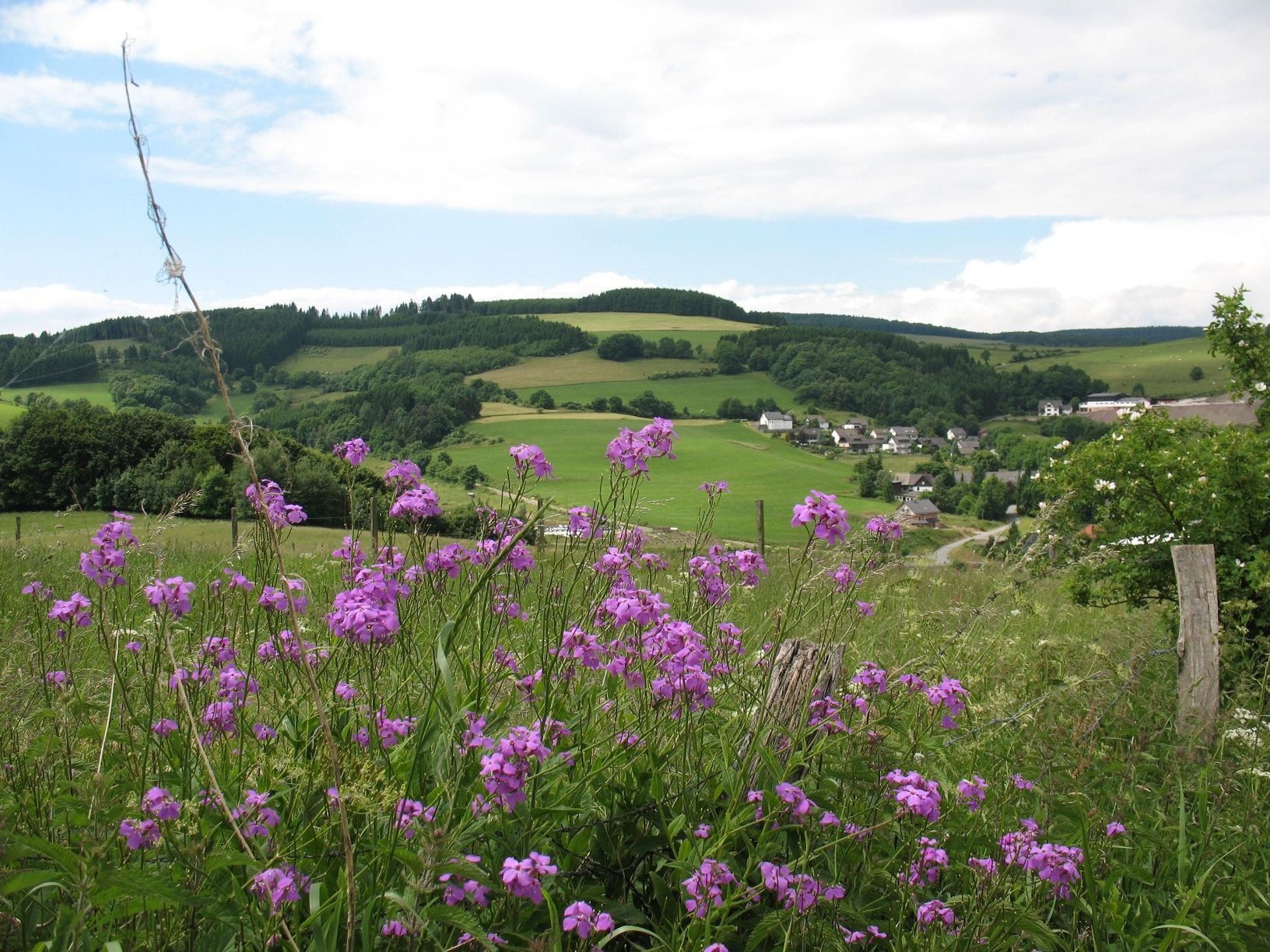
    Whether dam, stream or river: this circular hiking trail is rich in water. Covering around 246 kilometers, the long-distance hiking trail combines the most beautiful panoramic views of the Bergisches Land with numerous water landscapes, for example in the valleys of the Agger and Wupper rivers.As the Bergisches Land has more dams to offer than any other region in Europe, relaxing breaks by the water are practically part of the daily program, including the Neye, Agger and Wuppertal dams, all of which not only serve as water reservoirs, but also offer hiking trails along the banks and water sports facilities.There is also plenty to discover along the way: the Bergisches Freilichtmuseum, various stalactite caves, a monkey and bird park, Homburg Castle and the Panarbora treetop walk are all along the way.

    The "Bergisches Wanderland hosts" offer accommodation and refreshment stops along and near the trails and especially in the stage towns. They meet defined quality criteria and bear the "Bergisches Wanderland hosts" seal of approval, making them easy for hikers to recognize. Among other things, they provide guests with packed lunches for the road, provide expert information about hiking tours and sights or transport luggage.

    certificates and markings

    • Quality Trail Wanderbares Deutschland

    More tours at a glance

    • Tourismus NRW Logo

      Winterwandern: Durchs Winterparadies Willingen

      Willingen (Upland)

      Wanderung auf den Ettelsberg

      Winterwandern: Durchs Winterparadies Willingen
    • To Page Sieg cycle route: river cycle route - from the mouth to Windeck

      Sieg cycle route: river cycle route - from the mouth to Windeck

      Windeck

      Detour in Windeck-Dreisel!

      Experience nature, discover new things, be active: the Sieg cycle route makes it possible! Over 64 kilometers, from Windeck-Rosbach to the Sieg estuary into the Rhein, the varied route runs over dikes, along near-natural river floodplains and forests, past cultural-historical sights.

      Sieg cycle route: river cycle route - from the mouth to Windeck
    • To Page Medebacher Bergweg

      Medebacher Bergweg

      Medebach
      The Medebacher Bergweg connects. Namely the Hanseatic town of Medebach with all its districts. Like a string of pearls, the nine idyllic villages are hiked through one after the other.
      Medebacher Bergweg
    New tips every two months

    Insider tips & excursion ideas

    Newsletter

    Fancy some mail? Then subscribe here to our every two months newsletter with information on special travel offers, selected short tips for short trips and other insider tips for travelling in North Rhine-Westphalia.

    Click here to register