Hermannshöhen - Etappe 04 von Bad Iburg nach Dissen

Bad Iburg
  • Hiking, Long-distance hiking trail
  • 16 km
  • 5:30 Hours
  • medium
This sporty stage from the castle of the Kneipp spa town of Bad Iburg to Dissen am Teutoburger Wald leads through a wonderfully wooded section of the Teutoburg Forest and offers a charming view of the sometimes steep slopes of the low mountain range, especially in spring and autumn. The route climbs quite steeply three times before you reach the viewing tower on the Steinegge near Dissen. There you can enjoy a fantastic panoramic view of the Teutoburg Forest.
      • Start and finishBad Iburg, Tourist-Info
      • Difficultymedium
      • Length16 km
      • Duration5:30 Hours
      • Uphill439 m
      • Downhill300 m
      • Hiking
      • Long-distance hiking trail
      • Tour with dog
      • Quality Trail Wanderbares Deutschland
      • Family friendly
      • Nature highlight
      • Hermannshöhen - Etappe 04 von Bad Iburg nach Dissen

        49186 Bad Iburg

    The stage at a glance:

    1.            Short stage route
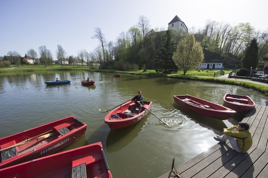
    The stage begins at the historic castle in Bad Iburg and ends at the viewing tower on the Steinegge near Dissen. The route heads east along the Hermannsweg. This section is particularly attractive in the first half of the year: In March/April, the early-flowering larkspur can be seen along the edge of the path, allowing you to revel in a sea of flowers. You can then enjoy the fresh green of young beech trees on the Freeden near Bad Iburg. After a short, steep climb, the ridge path runs above the town of Hilter. A bridge takes you over the A33 before you reach wooded areas again. There is one last descent and ascent before you reach your destination. You can reach the town center of Dissen and the Dissen/Bad Rothenfelde train station via the Dissen access path.

    Tip: If you have the time and inclination, you should definitely plan a visit to the treetop walk before the start. The treetop walk offers over 30 adventure and learning stations and an impressive viewing platform over the Teutoburg Forest.

    Break tip: After a short hike, you will reach the first beautiful rest and viewing point shortly after the Freedenhütte waypoint.

    2.            Length of the stage in kilometers / altitude difference / route character
    The stage is 16 kilometers long in total and has an altitude difference of around 500 metres. Evenly distributed over the stage, the route climbs quite steeply 3 times. The route is challenging due to the steep climbs and leads through wooded sections.

    3.            Scenic features
    Along the stage, wooded sections alternate with steep slopes and gentle hills. The route along the edge of the forest offers wonderful views of the valley to the south.

    Highlights on the route

     
    • The historic Iburg in Bad Iburg is one of the town's most important sights. It was built in the 11th century on the ruins of an old castle and is still the town's landmark today. The castle complex, which is situated on a mountain spur, once served as a bishop's seat and the magnificent 17th-century knights' hall has been preserved to this day.  The castle offers impressive views of the surrounding area and is located in the middle of the pretty old town of Bad Iburg.

    • The Noller Schlucht is a natural rocky gorge. The path through the gorge is accessible as a hiking trail and offers beautiful views.
    • The lookout tower on the Steinegge near Dissen offers a panoramic view of the Teutoburg Forest. The tower is 61 meters high and has a viewing platform at a height of 25 meters.

     
    A good alternative interactive tour map of the stage can be found here:

    certificates and markings

    • Quality Trail Wanderbares Deutschland

    More tours at a glance

    • To Page Der Natur- und Geopark TERRA.vita

      Der Natur- und Geopark TERRA.vita

      Osnabrück
      TERRA.vita ist ein Naturpark. Und ein Geopark. Eine Region, die einlädt, sich in der Natur zu erholen und dabei tief in die Vergangenheit einzutauchen – tief in die Geschichte dieser faszinierenden Landschaft.
      Learn more
    • Hermannshöhen - Etappe 05 von Dissen bis HalleWestfalen

      Dissen am Teutoburger Wald
      Hiking
      Open today
      The Hermannsweg from Dissen to Halle Westfalen offers a varied route through wooded paths and some beautiful viewpoints such as Ravensberg Castle and the Luisenturm. Continuing across meadows and fields, the trail leads over the Barenberg and the Kammweg to the destination.
      Learn more
    • Hermannshöhen - Etappe 03 von Tecklenburg nach Bad Iburg

      Tecklenburg
      Hiking
      Open today
      This stage leads along huge lime quarries from historic Tecklenburg to Iburg Castle on the largely natural ridge path. The route is free of steep ascents and descents and offers impressive views of the Münsterland parkland.


      NOTES:
      Due to the rock with a thin layer of humus , muddy conditions can occur on individual sections after long periods of rain, as the path dries only slowly. Unfortunately, this is a natural phenomenon and cannot be influenced. In these cases, please wear waterproof and non-slip footwear or avoid periods of heavy rain.

      In Lienen, the digital track around the Malepartus forestry deviates from the route guidance/markings on site. There are currently temporary path relocations here.

      Learn more
    New tips every two months

    Insider tips & excursion ideas

    Newsletter

    Fancy some mail? Then subscribe here to our every two months newsletter with information on special travel offers, selected short tips for short trips and other insider tips for travelling in North Rhine-Westphalia.

    Click here to register