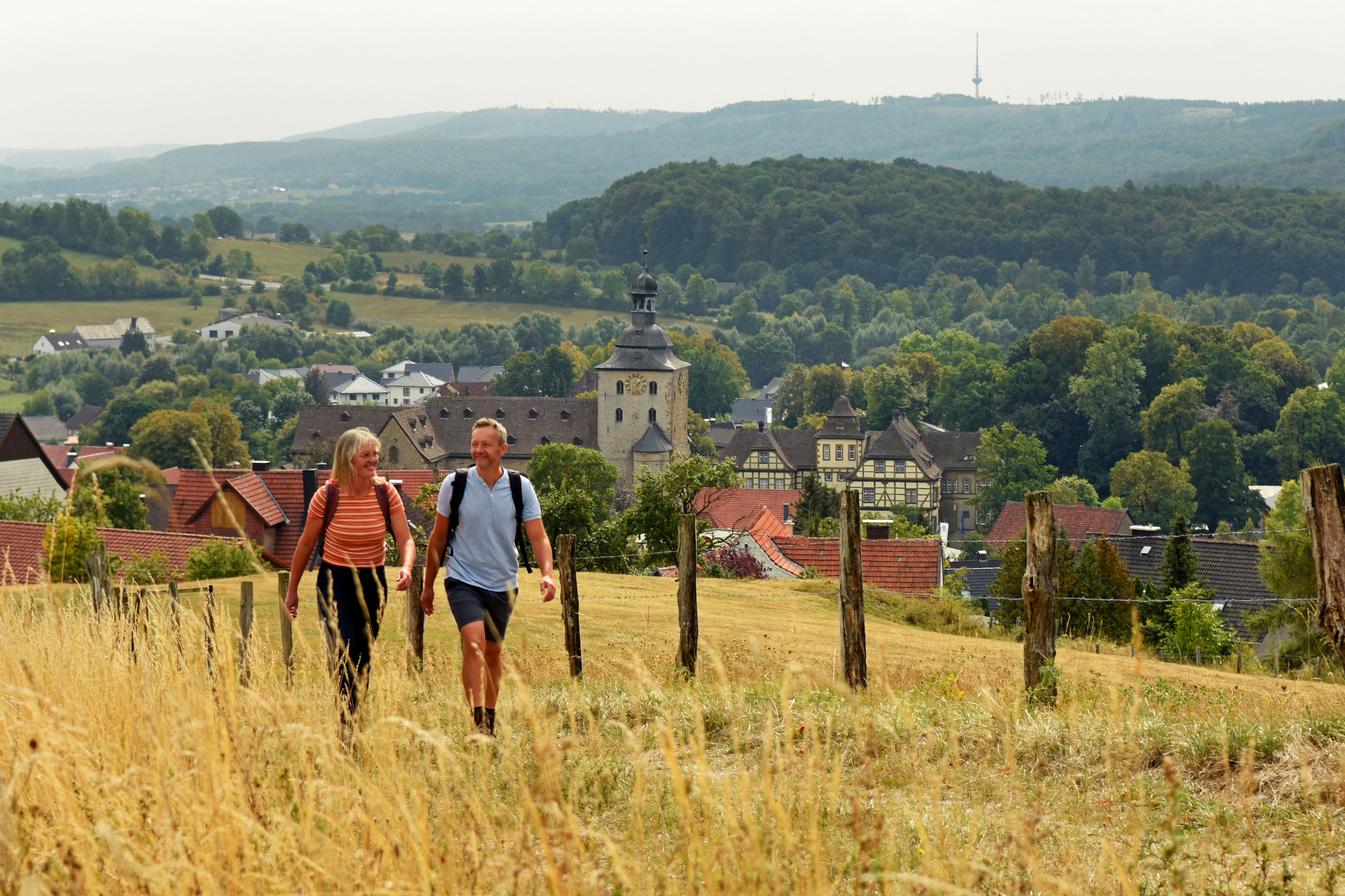
Hermannshöhen - Etappe 13 von Blankenrode bis Obermarsberg

Lichtenau
  • Hiking, Long-distance hiking trail
  • 14 km
  • 4:15 Hours
  • medium
The last stage of the Eggeweg leads you along paved paths through a charming landscape with wonderful views and past several small villages.


      • Start and finishLichtenau-Blankenrode
      • Difficultymedium
      • Length14 km
      • Duration4:15 Hours
      • Uphill219 m
      • Downhill332 m
      • Hiking
      • Long-distance hiking trail
      • Tour with dog
      • Quality Trail Wanderbares Deutschland
      • Nature highlight
      • Culturally interesting
      • Hermannshöhen - Etappe 13 von Blankenrode bis Marsberg

        33165 Lichtenau

    The stage at a glance:
    1. Short stage route
      Starting point of stage 13 is Blankenrode. The stage begins through the Blankenroder Bleikuhlen. Shortly before Oesdorf, there are two ways to reach the village: Either follow the Eggeweg or, after around 4.5 km of the stage, take the meadow path at a viewing bench, which leads downhill to Oesdorf church. Welcome to the Sauerland! Leaving the village, you will come to a waterworks after a major ascent. After about 3.5 km you arrive in Essentho. From Essentho onwards, the Eggeweg runs along the old "Via Regia" - a former people's road that was an important connection from Worms via Mainz to Bremen in the Middle Ages. In Marsberg, the route leads along the banks of the Diemel for a while until you reach the center of the town and your destination.
    Tip: The steep climb up to Obermarsberg is well worth it. The district is one of the oldest populated points in the Hochsauerland district and has a lot to tell.
     
    1. Length of the stage in kilometers / altitude difference / route character
      The stage is 14 km long, leads over paved paths and has a moderate difference in altitude. The only major climb is out of Oesdorf.
    2. Scenic/historical features
      There are several scenic features to discover along the route, including the geological fault lines of the Blankenroder Bleikuhlen, where lead, zinc and sulphur iron ore were once mined. You will also find protected flora here, including the only Westphalian galmei violet to be found here. In addition to the scenic features, you will also pass several historical sites on this stage that will take you far back into the past.
    Highlights on the route
    • In the course of geological history, deposits of lead, zinc and sulphur iron ore were formed on the Blankenroder Bleikuhlen geological fault line. These were mined above and below ground for centuries. The resulting soil conditions made it possible for the very rare blue-purple-colored galmei violet to become native here.
     
    • The Oesdorf Church from the Middle Ages with impressive murals.
     
    • Essentho: A settlement with a long history dating back to the 9th century. People settled here very early on. This is not least due to the high water supply. Incidentally, there is a privately run care and release station for birds of prey and owls at Essenthoer Mühle, which is very interesting for animal lovers.
     
    • Obermarsberg is the oldest populated point in the Hochsauerland district and is located on a mountain plateau that slopes steeply down on three sides. Short history excursion:  The place was called "Eresburg" in the 5th/4th century BC. The castle belonged to the Saxons.


    Did you know that?
    According to legend, Charlemagne conquered it during his Saxon campaign and destroyed the sanctuary of the Saxons, the Irminsul.  As the battle here lasted so long, he is said to have said "This is truly my sour land", which is said to have given rise to the name Sauerland.


    A good alternative interactive tour map of stage 13 can be found here

    certificates and markings

    • Quality Trail Wanderbares Deutschland

    More tours at a glance

    • To Page Hermannshöhen - Etappe 12 von Willebadessen nach Blankenrode

      Hermannshöhen - Etappe 12 von Willebadessen nach Blankenrode

      Willebadessen
      Hiking
      Open today
      This stage of the Eggeweg leads through an almost deserted landscape, which has been designated a European bird sanctuary. The trail runs as a cliff path in gentle curves through the beauty of the Egge and offers fascinating views of the rugged rocky slopes and cliffs.

      Learn more
    • To Page Hermannshöhen - Etappe 11 von Bad Driburg nach Willebadessen

      Hermannshöhen - Etappe 11 von Bad Driburg nach Willebadessen

      Bad Driburg
      Hiking
      Open today
      WATCH OUT - BAD DRIBURG NEEDS YOUR HELP!
      At the moment, unknown perpetrators are deliberately removing all markers and signposts in and around Bad Driburg. A great deal of damage has already been done and hikers can no longer find the paths.
      If you discover people removing markings or signs, please contact the police or Bad Driburg Touristik directly on 05253-98940. THANK YOU FOR YOUR SUPPORT AND SORRY THAT THE PATHS ARE NOT CURRENTLY MARKED CORRECTLY!


      The stage from the Iburg ruins to Willebadessen takes you into the picturesque forests of the Egge and promises an unforgettable experience of nature. Away from civilization and everyday stress, you can enjoy nature in its original form on this stage, provided it has not fallen victim to the bark beetle plague.
      Learn more
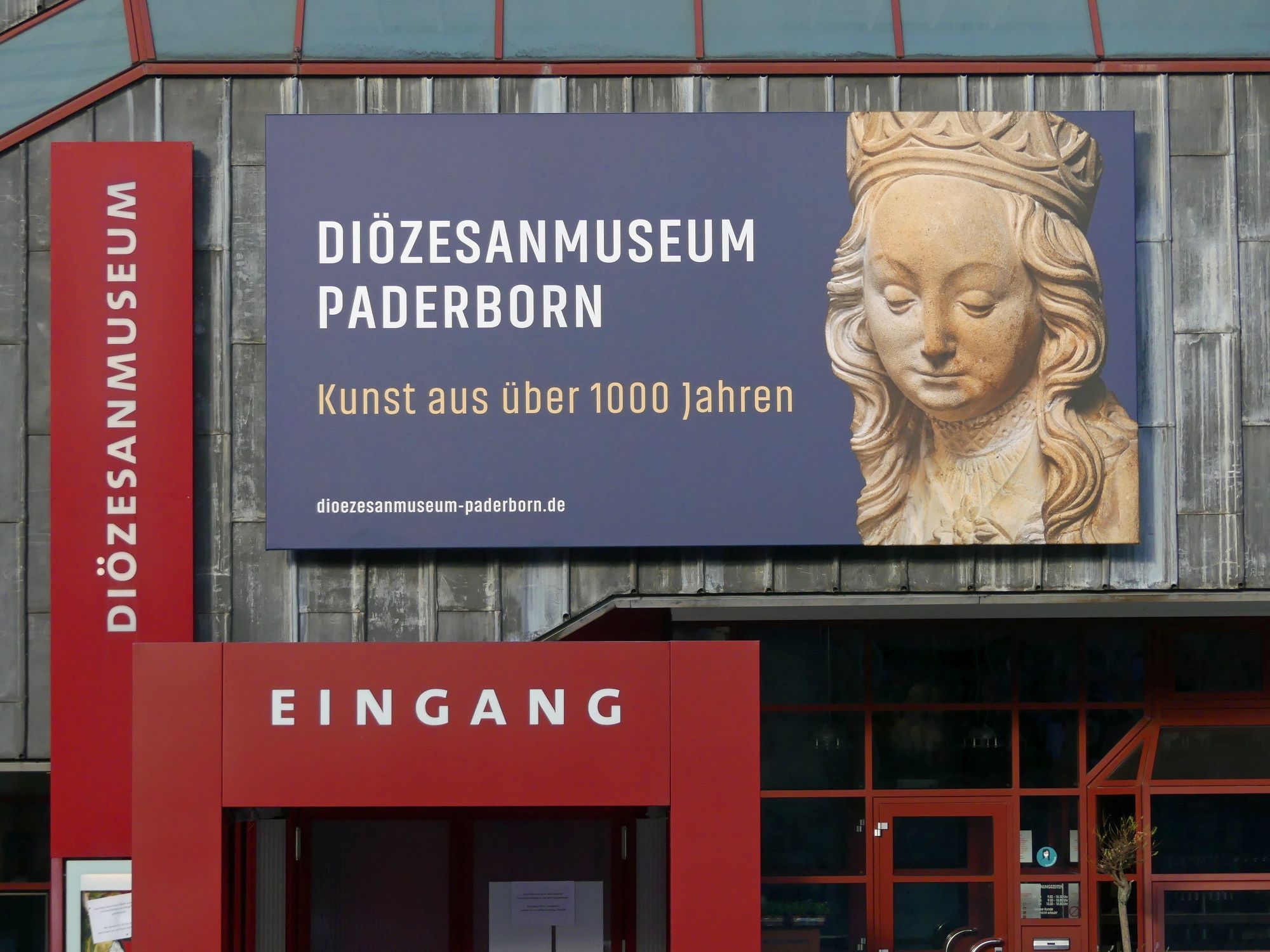
    • To Page Diözesanmuseum Paderborn

      Diözesanmuseum Paderborn

      Paderborn
      Open today
      The Diocesan Museum houses an extensive collection of sacred art from the 10th to 20th centuries.
      Learn more
    New tips every two months

    Insider tips & excursion ideas

    Newsletter

    Fancy some mail? Then subscribe here to our every two months newsletter with information on special travel offers, selected short tips for short trips and other insider tips for travelling in North Rhine-Westphalia.

    Click here to register