River Niers Cycle Path
A relaxing route for leisure cyclists and families
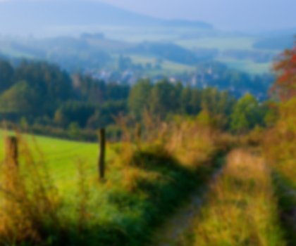
An ideal cycle route for families and leisure cyclists: exploring the entire length of the River Niers as it winds through the Lower Rhine region.
The Niers winds its way for around 100 kilometres through the Lower Rhine region to the Dutch city of Gennep. This is the ideal route for cyclists who want to follow the entire course of the river. The River Niers Cycle Path keeps close to the river banks at all times, passing flat meadows and fields as well as the poplar and willow trees which line the Niers. Large portions of the Niers lowlands are areas of nature and landscape conservation due to their biodiversity. Cyclists will easily find a tranquil spot on the river banks for a picnic after a relaxing ride across flat terrain.
This level countryside, coupled with the fact that the entire route can be cycled in any of three stages, makes the River Niers Cycle Path the ideal choice for leisure cyclists and young families. The entire length of the cycle path is also well signposted. And if cyclists eventually get a little tired, they can always hire electric bikes from NiederrheinRad rental stations in Goch, Weeze, Kevelaer, Geldern, Straelen and Viersen.
As well as getting close to nature, cyclists on the River Niers Cycle Path can explore many interesting sights: shortly after the trail begins in Mönchengladbach, Schloss Neersen with its castle park – restored from historic models – is well worth a visit. Near the edge of the urban area, traces of the milling industry along the Niers can also be found: there are more than twenty water mills along the river as far as Süchteln, including the Neersener Schlossmühle, the Gibbermühle and the Clörather Mühle. In order to protect and defend these mills, once so important for trade, castles were built on some parts of the Niers riverbank: Burg Uda in Grefrath-Oedt is one of these, and its ruins are still visible today. Not far from the banks of the Niers, sights also include the Niederrheinisches Freilichtmuseum, an open-air museum, and the Dorenburg, a moated castle, as well as numerous farm buildings and workshops. Visitors here gain an insight into life and work in the Lower Rhine region in the late 19th century. Following the river and cycle path, cyclists can also discover works of art on the river bank, explore Mariendonk Abbey or visit Schloss Wissen castle in Weeze.